Last updated: February 2, 2023
Place
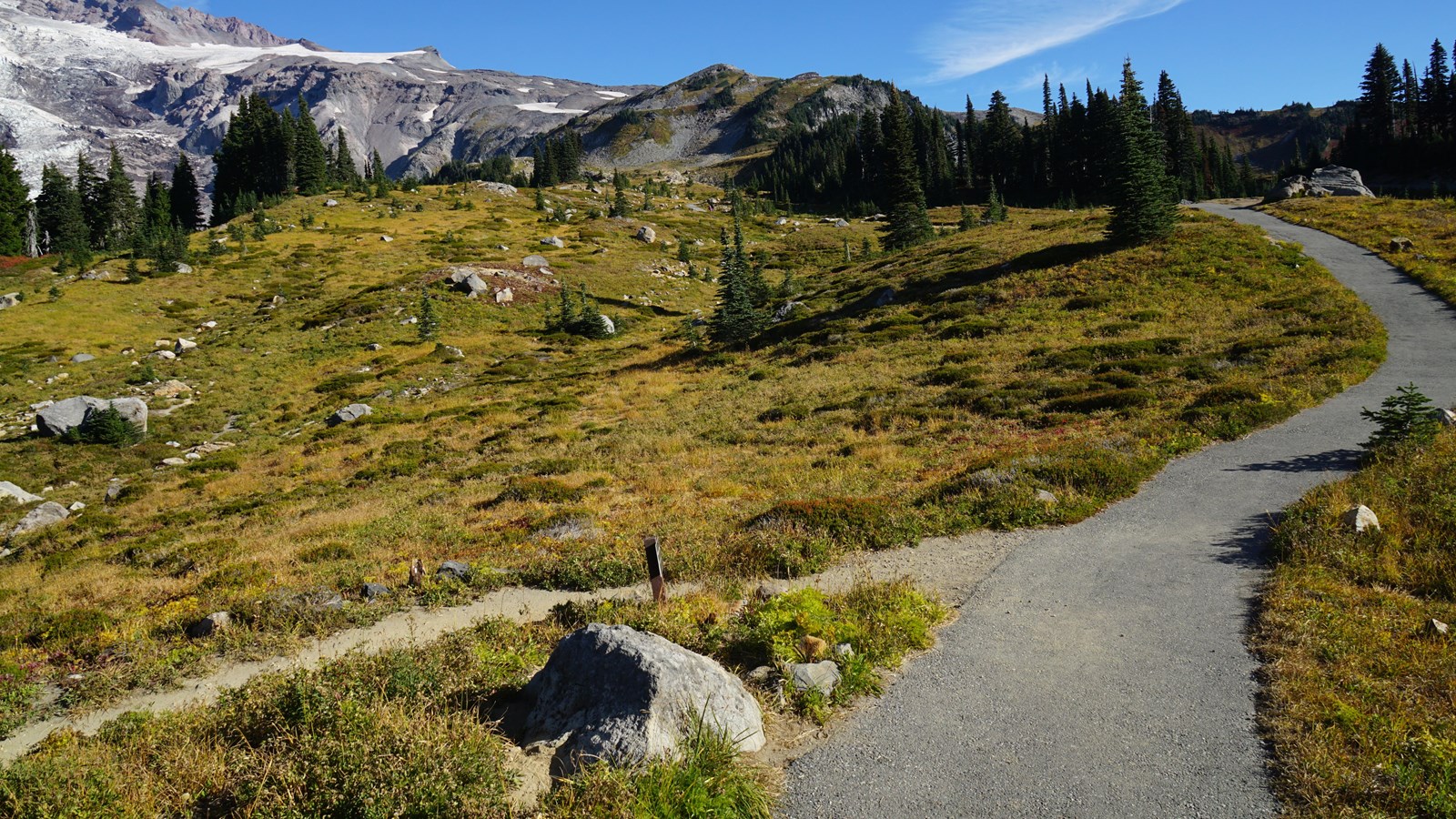
Paradise Trails Orientation: Deadhorse Creek & Moraine Trail Junction

NPS Photo
Information
Season: Summer
Paradise is open year-round, but this orientation guide is designed for the summer season when trails are snow-free. In spring and fall, there may be patches of snow covering sections of trail. Please stay on trails, even if it means crossing snow, to avoid trampling delicate meadow plants. Pets are not allowed on trails.
This location is the junction of Deadhorse Creek Trail and Glacier Moraine Trail, with north looking towards Gibraltar Rock on the eastern slopes of Mount Rainier (the summit is slightly more northwest).
- Deadhorse Creek Trail goes to the east uphill and to the southwest downhill.
- Moraine Trail starts at this junction and heads to the west before turning northwest. After the first half-mile this trail is unmaintained and can be hazardous.
How Far Is It?
- Lower Parking Lot: 0.74 miles, average walking time 29 minutes, southwest on Deadhorse Creek Trail (downhill). The trail connects to the Nisqually Vista Trailhead shortly before connecting to the lower parking lot. There are no restrooms in the lower parking lot, but restrooms are available in the Paradise Picnic Area, downhill from the parking lot.
- Connecting to upper Skyline Trail: 0.47 miles, average walking time 18 minutes, east on Deadhorse Creek Trail (uphill).
- Jackson Visitor Center and Upper Parking Lot: 0.69 miles, average walking time 27 minutes, by following the Deadhorse Creek Trail downhill to the Waterfall Trail to connect to the upper parking lot. Restrooms, information, food, and gifts available at the visitor center.
For additional information, download the Paradise Area Trails Map.
