Last updated: July 28, 2022
Place
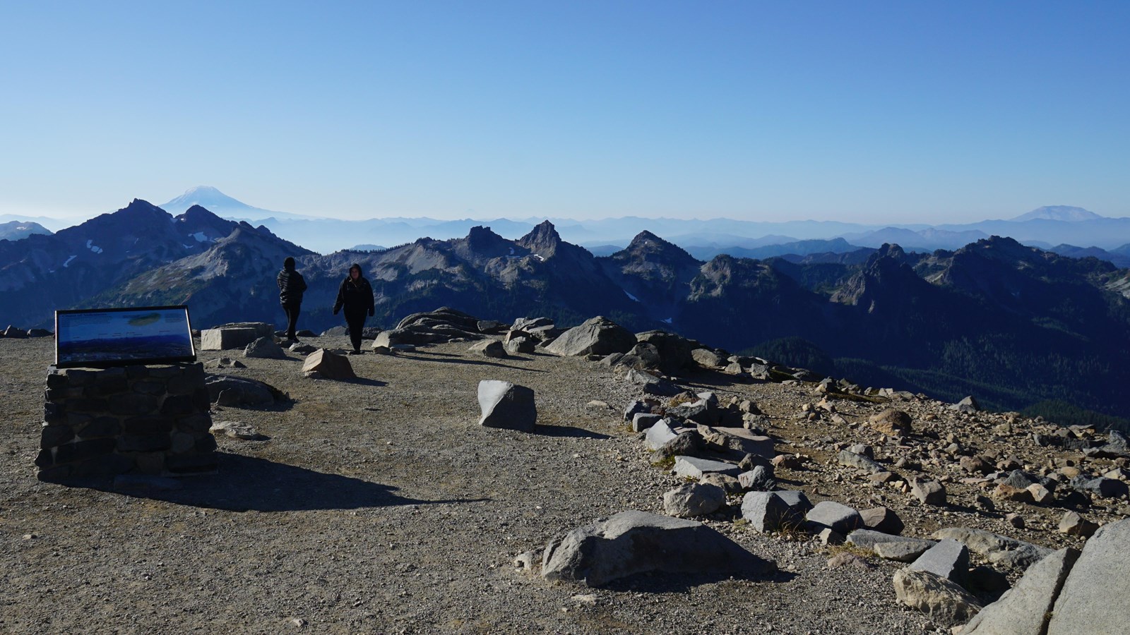
Paradise Meadows: Panorama Point Exhibit Panel
NPS Photo
Quick Facts
Location:
Skyline Trail at Paradise
Amenities
2 listed
Historical/Interpretive Information/Exhibits, Scenic View/Photo Spot
Title: Chain of Volcanoes
Main Text
On a clear day several snow-covered summits appear to line up in the distance beyond the Tatoosh Range. All are large, active volcanoes that line the western edge of North America from Northern California to Southern British Columbia. This chain of volcanoes, part of the Pacific Ring of Fire, is growing above the collision zone of oceanic and continental plates.
Secondary Text
The 1980 eruption of Mount St. Helens displayed the power of Cascade volcanoes. The effects were catastrophic, but much larger eruptions have occurred in the past. With large populations nearby, Mount Rainier is potentially dangerous because its huge volumes of snow and ice could generate deadly lahars.
Exhibit Panel Description
A single photo looking south out over the Paradise Meadows towards the Tatoosh Range and distant volcanic peaks on a clear day fills the exhibit panel. The peaks are labeled, left to right, as Goat Rocks, Mount Adams (in the distance behind the Tatoosh Range), Mount Hood (very far and faint in the distance), Castle Peak, Pinnacle Peak, Plummer Peak, and Mount St. Helens (also in the distance behind the Tatoosh Range). The main text is in the upper left corner of the panel against the blue sky of the photo. To the right of the main text is a map of a portion of the west coast of North America, showing the Cascade Range stretching from Northern California to Southern British Columbia. Black triangles mark the location of volcanic peaks along the mountain range. In Washington State, the peaks are labeled from north to south as Mount Baker, Mount Rainier, Mount Adams, and Mount St. Helens. Mount Hood, at the northern edge of Oregon, is labeled, as is Mount Shasta and Lassen Peak in California. Several peaks are not labeled. A caption next to the map reads: "Nineteen major volcanoes appear in a chain of fire from northern California to British Columbia." The secondary text is to the right of the map in the upper right corner of the panel. A small box in the lower left corner of the exhibit panel reads "User Fee Project. Your Fee Dollars at Work. Entrance fees were used to produce this exhibit".
Visit This Exhibit Panel
This exhibit panel is located at Panorama Point, a prominent view point along the Skyline Trail at Paradise. The Skyline Trail begins from the Paradise upper parking lot and is part of a network of trails in the Paradise Meadows. The Paradise Road is open year-round, but closes nightly during the winter.