Last updated: February 12, 2021
Place
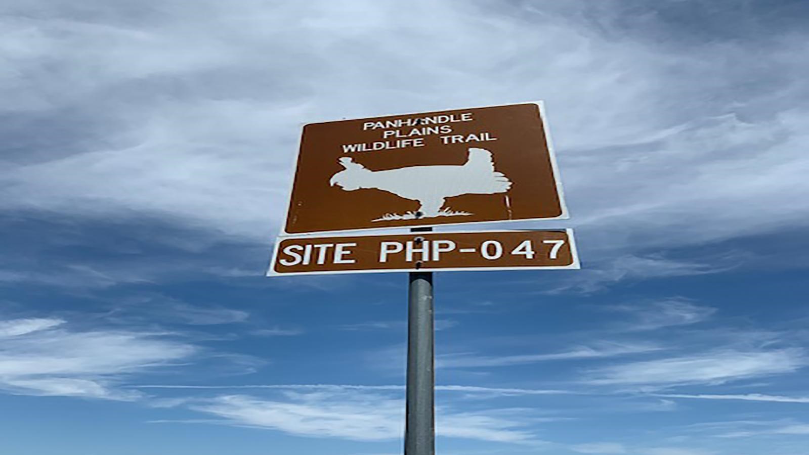
Panhandle Plains Wildlife Trail

NPS Photo
Quick Facts
Amenities
1 listed
Scenic View/Photo Spot
The Panhandle Plains Wildlife Trail is a state-designated system of trails and wildlife sanctuaries in the Texas Panhandle. It is one of the four major wildlife trail systems designated by the State of Texas. The trail system forms a loop that runs from Abilene to Lubbock and Amarillo, around to Canadian and Shamrock, and back to Abilene. This driving trail runs through 60 Texas counties, including Lake Meredith National Recreation Area.
This diverse trail winds through two areas of Lake Meredith National Recreation Area. One area is along Cas Johnson Road to McBride Canyon and the other area is along Blue West Road to Blue West. The rich habitat along the Canadian River provides opportunities to see the lesser prairie chicken. This trail provides good birding vantages and a year-round viewing of wild turkeys. Texas was the first state in the nation to build wildlife viewing driving trails that provide economic incentives for landowners and communities to conserve habitats while providing recreational opportunities for the traveling public. Views of colorful canyons of Lake Meredith contrasting with the flat high plains can be seen. Diverse songbirds, raptors, white-tailed and mule deer, pronghorn antelope, porcupines, skunks, rabbits, and coyotes occupy this area. Get out and experience the wild on the Panhandle Plains Wildlife Trail.
This diverse trail winds through two areas of Lake Meredith National Recreation Area. One area is along Cas Johnson Road to McBride Canyon and the other area is along Blue West Road to Blue West. The rich habitat along the Canadian River provides opportunities to see the lesser prairie chicken. This trail provides good birding vantages and a year-round viewing of wild turkeys. Texas was the first state in the nation to build wildlife viewing driving trails that provide economic incentives for landowners and communities to conserve habitats while providing recreational opportunities for the traveling public. Views of colorful canyons of Lake Meredith contrasting with the flat high plains can be seen. Diverse songbirds, raptors, white-tailed and mule deer, pronghorn antelope, porcupines, skunks, rabbits, and coyotes occupy this area. Get out and experience the wild on the Panhandle Plains Wildlife Trail.
