Last updated: September 23, 2020
Place
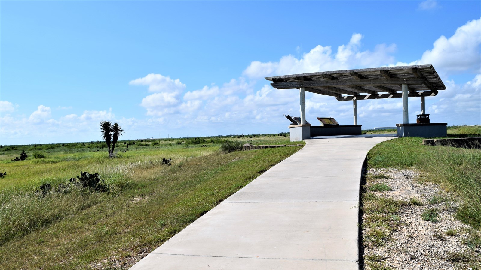
Palo Alto Battlefield Overlook

NPS photo
Benches/Seating, Cellular Signal, Historical/Interpretive Information/Exhibits, Picnic Shelter/Pavilion, Scenic View/Photo Spot, Wheelchair Accessible
The Palo Alto Battlefield Overlook sits on the western edge, practically in the center of the battlefield. On the afternoon of May 8, 1846, artillery rounds would’ve filled the air around this spot.
The Overlook provides an excellent vantage point to view the battlefield. Directly in front of the overlook lay the remnants of the historic Matamoros to Point Isabel Road, a critical strategic element of the battle. Off to the south, is the Mexican battle line and to the north is the U.S. battle line.
The prairie in front of the Overlook was ideal for 19th century warfare. It was an open field with good visibility. This area has changed somewhat in the time since the battle. The open prairie and sea of chest-high cord grass, that U.S. and Mexican soldiers wallowed through, is now gone.
The cord grass is much shorter now and the prairie is broken up by stands of mesquite trees and prickly pear cactus. These battlefield invaders were aided in their assault by activities such as cattle ranching and development of the surrounding area.
From here one can appreciate the size of the battlefield. Both battle lines are clearly visible from here as they are only about 700 yards apart. The range limits the artillery forced the lines to be this close. Despite its size, the small field this Overlook watches over would kick off a conflict that led to Mexico losing half of its national territory and the U.S. doubling in size.
