Last updated: June 6, 2025
Place
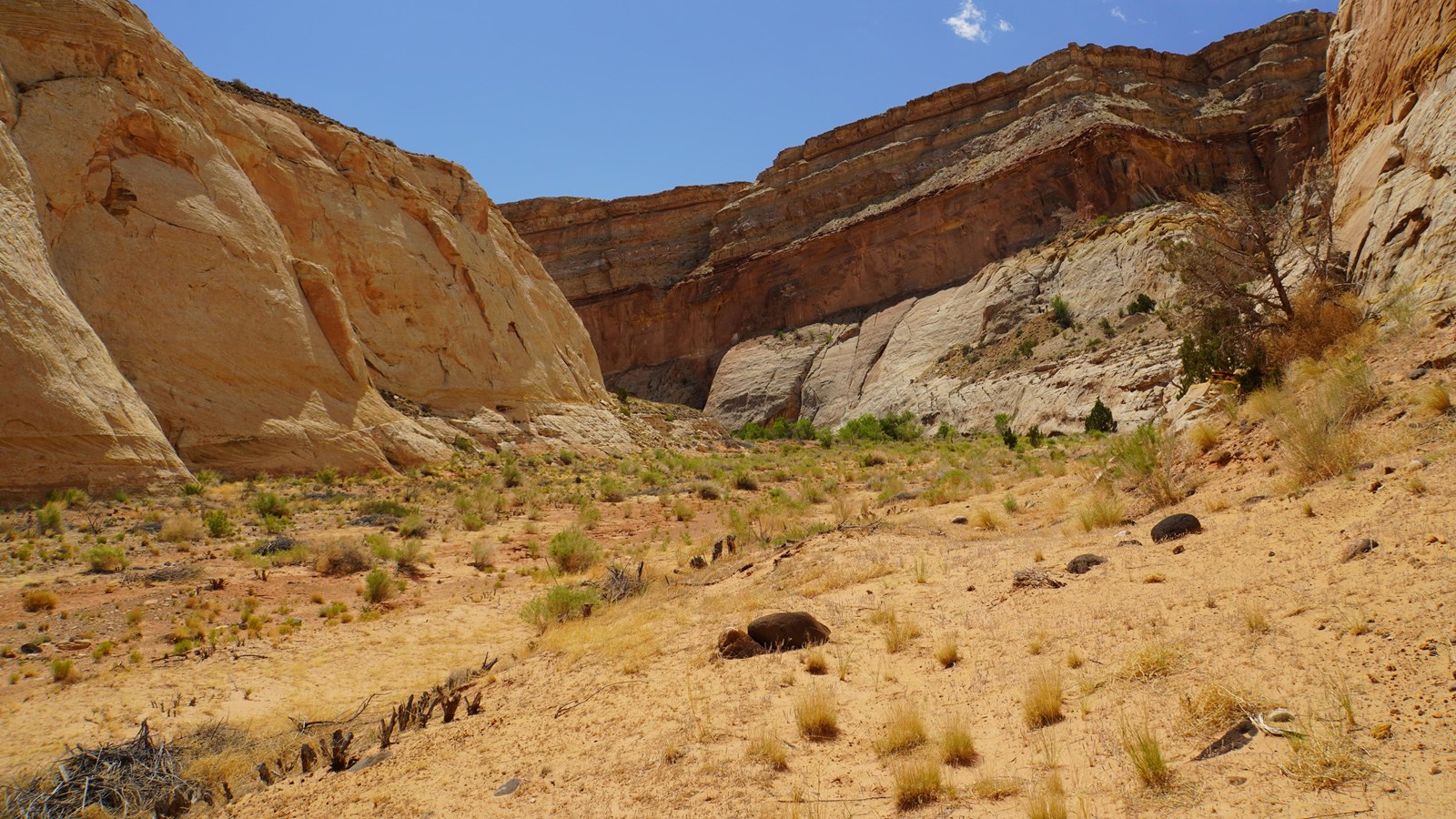
Oxbow Waterfall
NPS / Kate Zylland
You find yourself at the site of a significant act of engineering. The Fremont River is currently flowing between the highway and the cliff wall to your north. This is not the “natural” course of the river. For hundreds of thousands of years, the river carved out the oxbow (or horseshoe-shaped bend) that swings around the rock to the south of the highway. In 1962, to accommodate the path of Highway 24 and avoid building bridges, the state rerouted the river to its current course. The oxbow has since transformed from a lush riparian zone to a dry upland system, dominated by small shrubs and invasive plants. The water makes the same change in elevation over a shorter distance, so the current is steeper and stronger. It erodes the surrounding rock much quicker than before. This resulted in the waterfall below the highway here.
The waterfall’s plunge pool used to attract visitors for swimming. But as erosion continued and the flow quickened, the currents around the waterfall grew more turbulent and dangerous. In separate incidents in the summer of 2011, three different visitors very nearly drowned. The currents pulled them underwater and held them there for several minutes. Tragedy was only avoided thanks to the lucky presence of CPR-trained physicians each time. To protect the public, the park since closed the area to swimming. Save yourself (and Park Rangers) the trouble: follow posted rules and keep out of this dangerous spot.
The waterfall’s plunge pool used to attract visitors for swimming. But as erosion continued and the flow quickened, the currents around the waterfall grew more turbulent and dangerous. In separate incidents in the summer of 2011, three different visitors very nearly drowned. The currents pulled them underwater and held them there for several minutes. Tragedy was only avoided thanks to the lucky presence of CPR-trained physicians each time. To protect the public, the park since closed the area to swimming. Save yourself (and Park Rangers) the trouble: follow posted rules and keep out of this dangerous spot.