Last updated: September 3, 2022
Place
On Top of a Forest, on the Bottom of a Lake

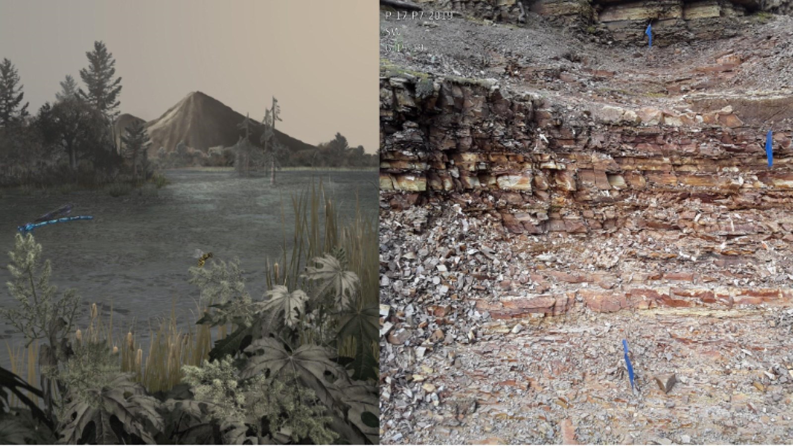
Left: Karen Carr; Right: NPS
Geoheritage Highlight!
Understanding this place’s geoheritage is like time travel. Imagine what it might have been like to be in a time capsule in this one particular spot over millions of years, passing in just seconds. Like the old movie The Time Machine, you could have watched the world around you change, first from a warm stream valley with a forest of tall redwood trees, then with rising water leaving you at the bottom of a lake. You would have become encased in rock as sediment formed around you, only to emerge again as the rock eroded to expose the cold valley of today.
This location is along the bottom of the Florissant valley looking north toward beautiful Crystal Peak. Below the surface and along the sides of the valley are rocks that preserve the ancient Eocene forest and lake. This schematic diagram illustrates the 34 million year old rock layers known as the Florissant Formation. One of these layers was a volcanic lahar that flowed into the valley and quickly buried a forest of redwood trees.
The other layers formed when this valley became blocked by a volcanic dam and the valley flooded. The resulting lake was filled over thousands of years by sediments including volcanic ash, clay, diatoms, and debris flows that accumulated on the bottom to form alternating layers of shale and conglomerate.
.
A: Debris Flow
Debris flows periodically swept into the valley and lake forming coarse-grained conglomerates.
B: Lake with Ash
Ash from a volcano coated the lake and sank with diatoms, plants, and insects forming paper shales filled with fossils.
C: Lahar
A lahar flowed into the valley and buried the bases of huge redwood trees, which became the petrified stumps of today.
