Last updated: February 28, 2024
Place
Old Mine Tour: History of the Carbon River Road
NPS Photo
Quick Facts
Location:
Carbon River Trail
Amenities
1 listed
Historical/Interpretive Information/Exhibits
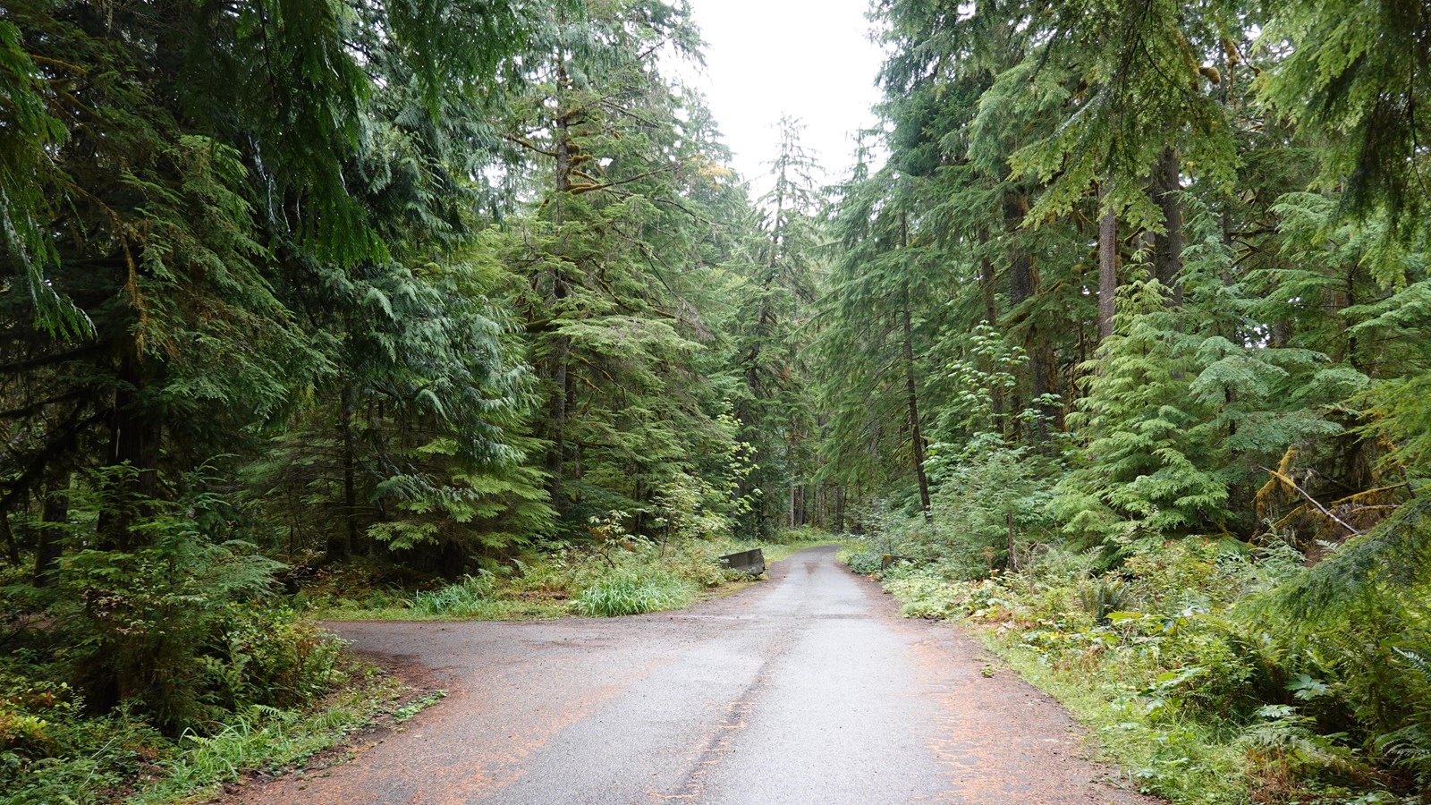
The Carbon River Road was first constructed between 1921-1924 as part of a plan to build an “around-the-mountain” road encircling Mount Rainier. This plan was only partially accomplished by other roads in the park, including SR410/123 on the east side of the park and Stevens Canyon Road on the south side of the park. Carbon River Road was meant to stretch along the north side of the park. However, from the beginning maintenance of the road was challenging and the road was frequently damaged by flooding due to the dynamic glacier-fed Carbon River. Historically, the Carbon River Road once reached as far as Cataract Creek, an additional three miles past its current length, which spans five miles to Ipsut Creek.
The Carbon River Road has always been a primitive road, winding through old growth temperate rainforest along the Carbon River Valley. It was constructed using wagon road technology, rather than modern engineering. In an attempt to design the road to blend with the landscape, it was routed close to the river, instead of further away on a valley bench. As a result, the road is in a floodplain and numerous floods have damaged or destroyed sections of the road. Eventually extreme damage from the November 2006 Flood closed the road to vehicles permanently, and the road now operates as the Carbon River Trail.