Last updated: April 5, 2024
Place
Oak Ridge Trailheads

NPS / Claire Hassler
Historical/Interpretive Information/Exhibits, Parking - Auto, Trailhead
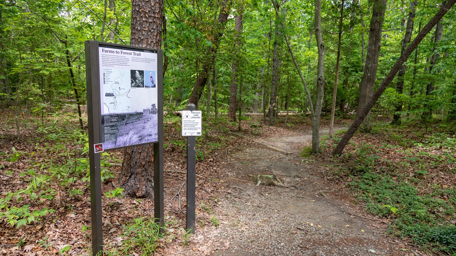
Park at Oak Ridge to access the Farms to Forest Trail, a 1.7-mile loop, and the South Valley Trail, a 9.7-mile trail that weaves throughout the park.
White blazes mark the 9.7-mile South Valley Trail, the park’s longest trail. Beginning at Oak Ridge Campground, this trail follows South Fork Quantico Creek to its confluence with Quantico Creek on the southeastern border of the park. The terrain and difficulty of this trail vary along its length. Study the map and create your own loop with other trails, fire roads, or the Scenic Drive. Enjoy the oak, beech, and tulip poplar trees and be alert for beaver activity. As you travel along, look for traces of former mills and homesites.
The Farms to Forest Trail consists of two loops. Follow the green blazes tracing a 1-mile, self-guiding trail through an old farm area that has been reclaimed by the forest. At about the midpoint in the first loop, follow the yellow blazes for a 1.8-mile moderately strenuous extension that winds through a marshy area near Quantico Creek. If you are hiking in the early morning and early evening, keep an eye out- especially on the second loop of this trail – for birds, beavers, and other wildlife.
Watch your step for tree stumps and slippery rocks. Check yourself periodically for ticks. Keep your pets on a leash and do not feed wildlife. Do not disturb or remove any plants, animals, or historic features.
