Last updated: November 1, 2021
Place
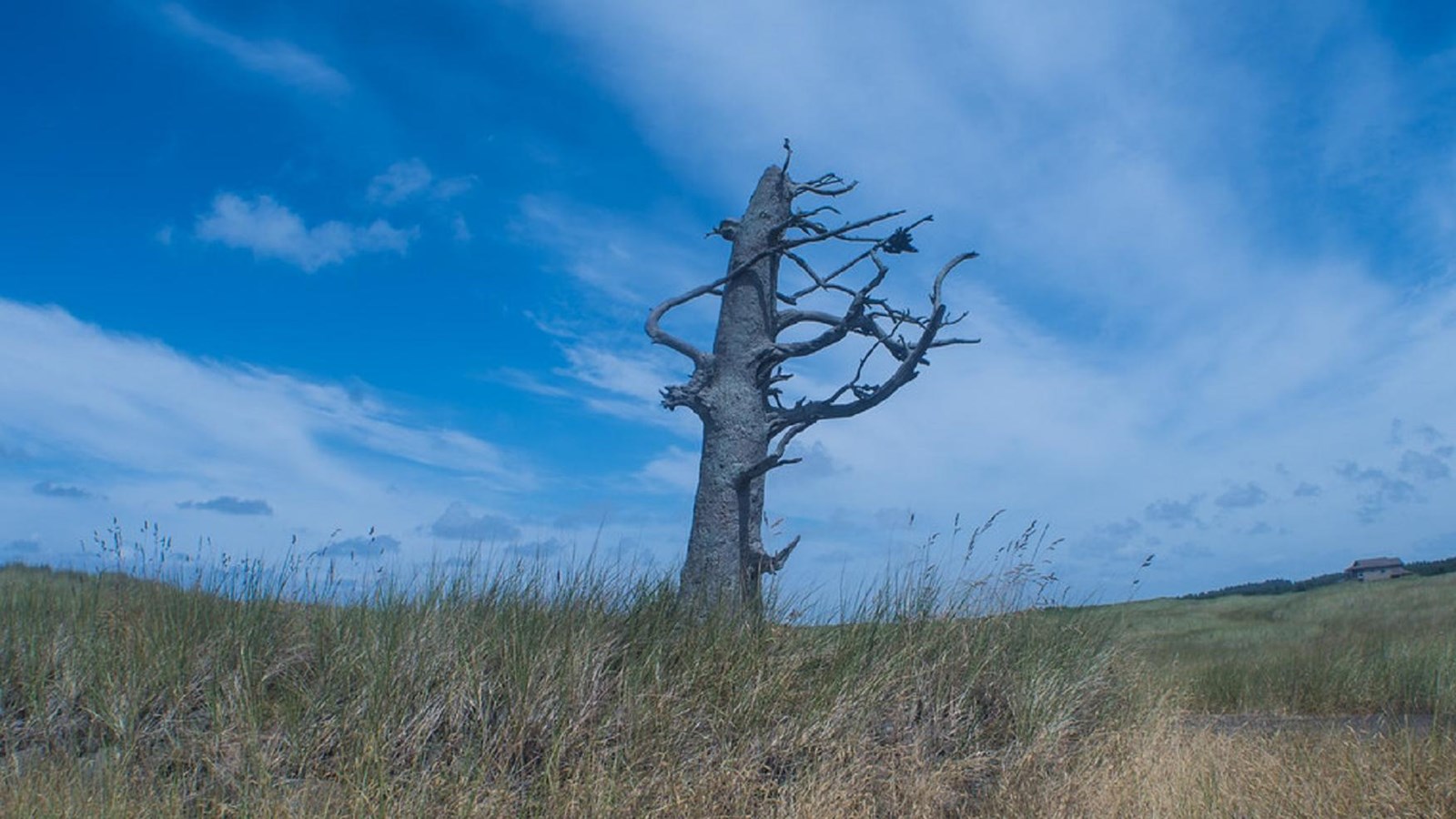
Clark's Tree & North Head Discovery Trail
"Clark's Tree - The Lewis and Clark Trail" by Boyd Shearer is licensed under CC BY-NC-SA 2.0
Quick Facts
Location:
Ilwaco, WA
MANAGED BY:
Amenities
6 listed
Benches/Seating, Historical/Interpretive Information/Exhibits, Parking - Auto, Trailhead, Trash/Litter Receptacles, Wheelchair Accessible
Lewis and Clark NHT Visitor Centers and Museums
This map shows a range of features associated with the Lewis and Clark National Historic Trail, which commemorates the 1803-1806 Lewis and Clark Expedition. The trail spans a large portion of the North American continent, from the Ohio River in Pittsburgh, Pennsylvania, to the mouth of the Columbia River in Oregon and Washington. The trail is comprised of the historic route of the Lewis and Clark Expedition, an auto tour route, high potential historic sites (shown in black), visitor centers (shown in orange), and pivotal places (shown in green). These features can be selected on the map to reveal additional information. Also shown is a base map displaying state boundaries, cities, rivers, and highways. The map conveys how a significant area of the North American continent was traversed by the Lewis and Clark Expedition and indicates the many places where visitors can learn about their journey and experience the landscape through which they traveled.
Clark documented the marking of this tree in his journal, saying:
Today, visitors to the 8.5-mile North Head Discovery Trail can walk the same route followed by Clark and his men. The well-maintained looped trail is approximately 14.5 miles roundtrip and is open to both hikers and bicyclists. Interpretive exhibits and beautiful vistas can be found along the way.“…I proceeded on the Sandy Coast 4 miles, and marked my name on a Small pine, the Day of the month & Year…”
The trail is accessible year-round. For trail maps and more information, visit their website at Discovery Trail - Visit Long Beach Peninsula.