Last updated: February 22, 2024
Place
North Abutment

NPS
Quick Facts
Amenities
3 listed
Parking - Auto, Pets Allowed, Wheelchair Accessible
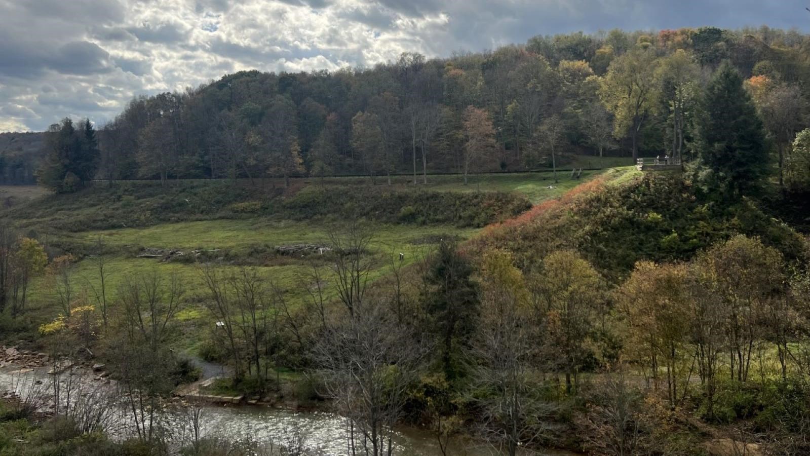
From this spot, you are 14 miles from the stone bridge in Johnstown. The elevation to Johnstown decreases by 450 feet. You are standing atop the north side of what is left of the South Fork Dam. The body of water penned in by the dam went by numerous names over the years: the Western Reservoir, the Old Reservoir, Three Mile Dam, and finally Lake Conemaugh. When construction began in 1838, the dam and reservoir were to serve as a canal feeder for the Pennsylvania Mainline Canal from Johnstown to Blairsville. The dam was ready for operation in 1853, but the canal went out of business shortly after that. The body of water and the dam was actually in the hands of four owners until its demise on the afternoon of Friday, May 31, 1889. These owners included: The Commonwealth of Pennsylvania, The Pennsylvania Railroad, United States Congressman John C. Reilly, and finally, the South Fork Fishing and Hunting Club.
The dam was 72 feet high and 931 feet across. At the center of the base, it had five sluice pipes for the purpose of draining the reservoir to supply water for the Mainline Canal. The footbridge you crossed is where the spillway was. Originally, this was an unobstructed spillway, but in 1881, when the fishing and hunting club stocked the lake with black bass from Lake Erie, a weir was put over the face of the spillway to keep the fish from escaping.
The dam was 72 feet high and 931 feet across. At the center of the base, it had five sluice pipes for the purpose of draining the reservoir to supply water for the Mainline Canal. The footbridge you crossed is where the spillway was. Originally, this was an unobstructed spillway, but in 1881, when the fishing and hunting club stocked the lake with black bass from Lake Erie, a weir was put over the face of the spillway to keep the fish from escaping.
