Last updated: August 14, 2025
Place
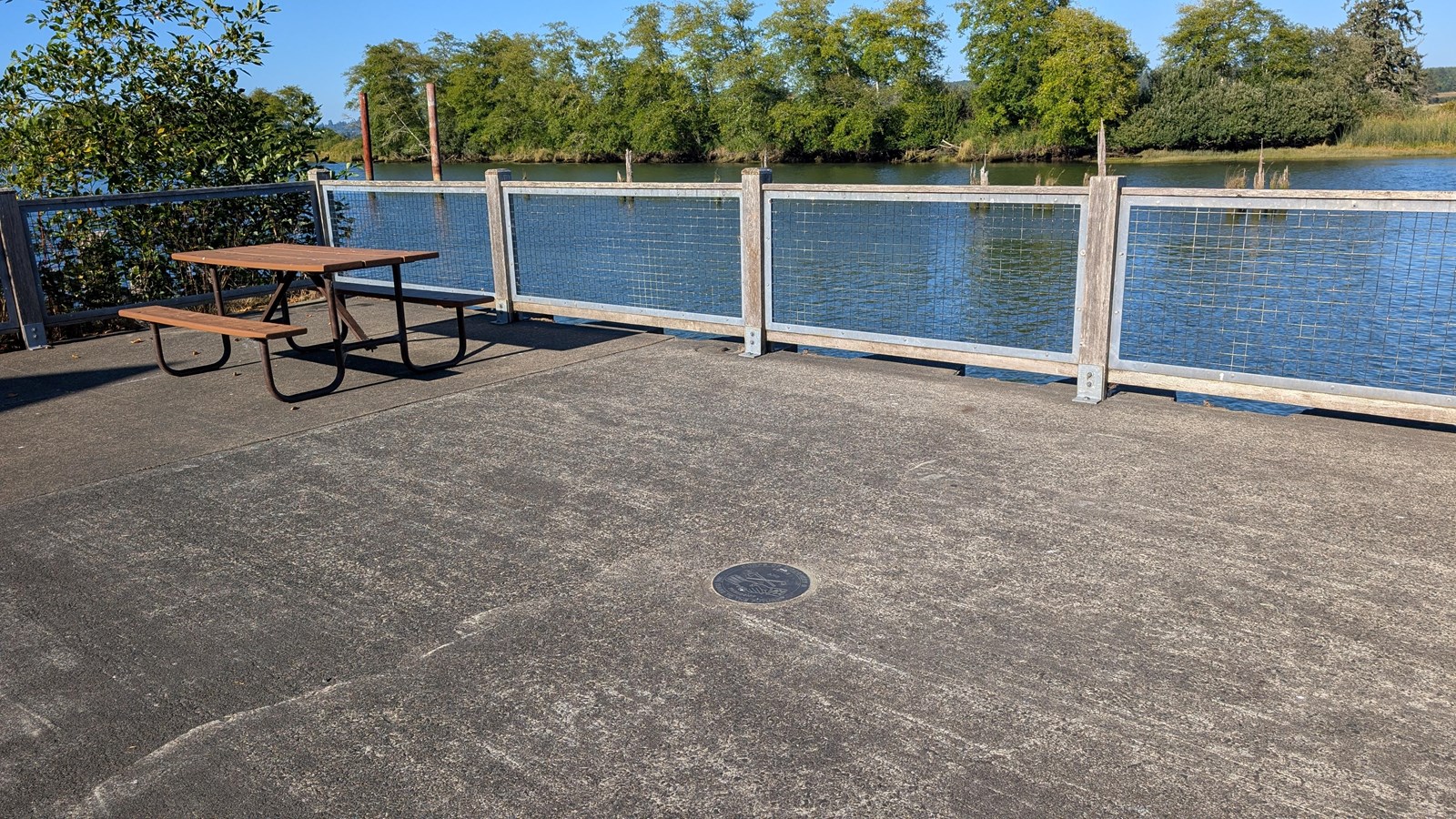
NOAA’s National Geodetic Survey Corps of Discovery II Marker at Fort Clatsop
NPS Photo / Ben Najera
Quick Facts
Location:
North Netul Landing
Significance:
NOAA NGS Marker
Amenities
9 listed
Canoe/Kayak/Small Boat Launch, Cellular Signal, Dock/Pier, Historical/Interpretive Information/Exhibits, Pet Waste Disposal, Pets Allowed, Picnic Shelter/Pavilion, Picnic Table, Restroom
"To honor Lewis and Clark's contributions to mapping, NOAA’s National Geodetic Survey (NGS) is installing a series of commemorative markers along the route that Lewis and Clark traveled, beginning in Monticello in Virginia and ending at Fort Clatsop in Oregon. NGS is positioning these markers using modern techniques, including the satellite-based Global Positioning System. The markers will become part of the National Spatial Reference System (NSRS), the federal standard and foundation for all positioning and navigation activities in the United States." - NOAA
Here at Lewis and Clark National Historical Park you'll find our commemorative marker at the North Netul Picnic Shelter, which can be hiked to along the Netul River Trail or driven down to. The marker itself uses the same depiction as the Jefferson Peace Medallions carried by the expedition.
For more information about this special commemorative series of Geodetic Survey markers visit NOAA's site here.