Last updated: September 27, 2022
Place
Nisqually Vista Walking Tour: Valley of Water and Ice

NPS Photo
Information
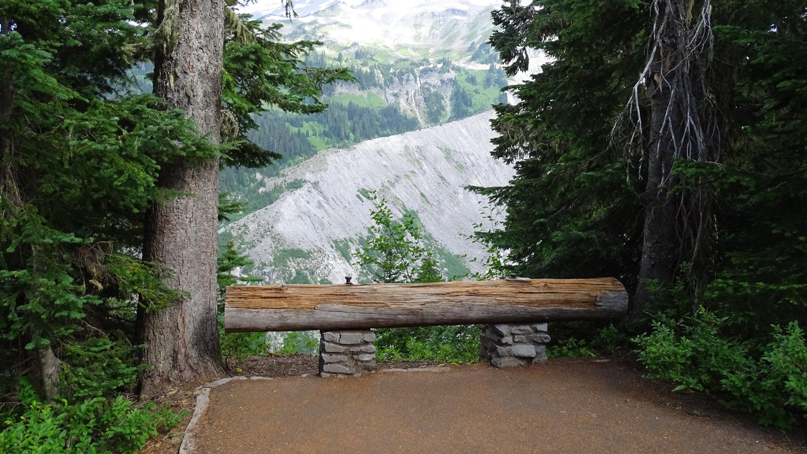
While flowing lava has created the rocks of Mount Rainier, flowing water and ice erode and transport those rocks. Both glaciers and rivers are responsible for redistributing rocks of all sizes down the mountain from their origins. Glaciers are masses of ice that flow very slowly under their own weight. As glaciers flow, they grind and pluck rocks from the bedrock below, and carry rocks distributed from avalanches and rockfall above. Eventually, the glacier gets to a low enough point that the ice will melt, depositing its load of rocks into the riverbed below.
Pulverized rock, called glacial flour, is suspended in the river flowing from the glacier, giving the water its muddy appearance. Rocks and boulders transported by the glacier can build upon themselves and raise the riverbed higher and higher – a process called aggradation. Flowing water will continue to push around and rearrange these rocks, creating a wide and rocky riverbed while the river itself is braided in constantly changing channels.
Occasionally, there are larger flooding events that carry vast loads of material. Heavy rain fall, glacial outburst floods, and even volcanic activity can cause the sudden release of water. If a massive amount of water gains enough momentum, it can pick up large boulders and other materials, becoming a debris flow. The largest of these flows is known as a lahar, a destructive slurry of water and debris that can extend for many miles. Mount Rainier has experienced many of these events throughout its history.
