Last updated: January 28, 2025
Place
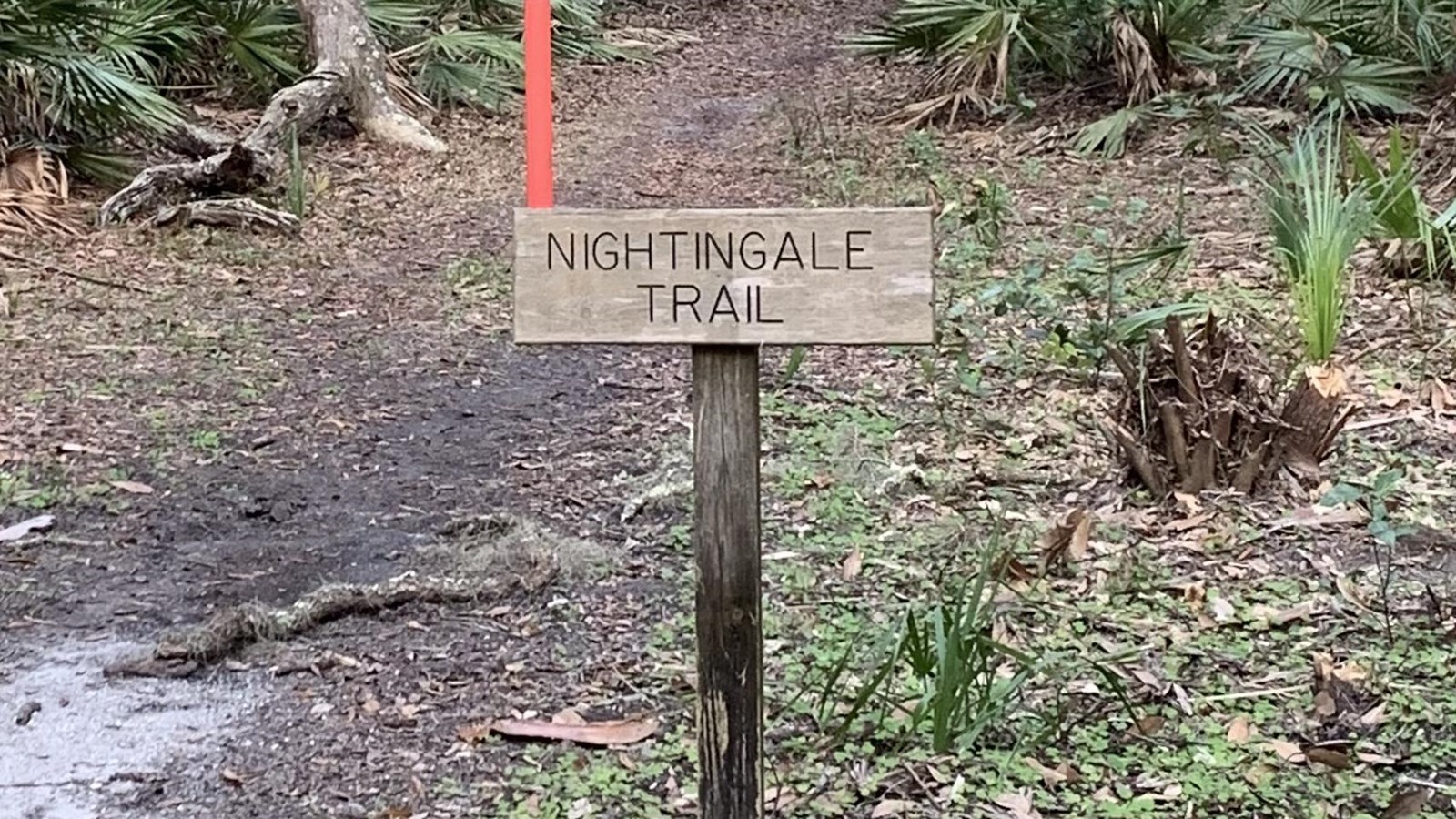
Nightingale Trail - Trailhead South
NPS photo
Quick Facts
Location:
30.75046N 81.46881W
Amenities
2 listed
Pets Allowed, Trailhead
The maritime forest is the dominant plant community of the uplands on Cumberland Island. The trail winds through the maritime forest towards the dunes and ends along the main road. Distance is 1 mile.
There are 15 sign posts along the trail that are stops on the interpretive tour. To access the content, navigate to the 'Tours' section of the NPS App.
Although somewhat protected by sand dunes, salt tolerance is the main factor determining which plants can grow in this forest. The salt spray prunes the tops of the oaks, limiting their height and causing them to twist and turn as they compete for sun exposure. Live oaks draped with Spanish moss create a dense canopy. Underneath grows a thick understory of palmetto interspersed with other shrubs.
Entering the forest, you sense a peaceful stillness. Air movement is limited even if a strong breeze is blowing on the nearby beach. There is little evidence of life at first, but if you look and listen closely, you will become aware of a unique habitat that many animals call home. Please remember that all plants and animals are protected in our National Parks.