Last updated: April 21, 2026
Place
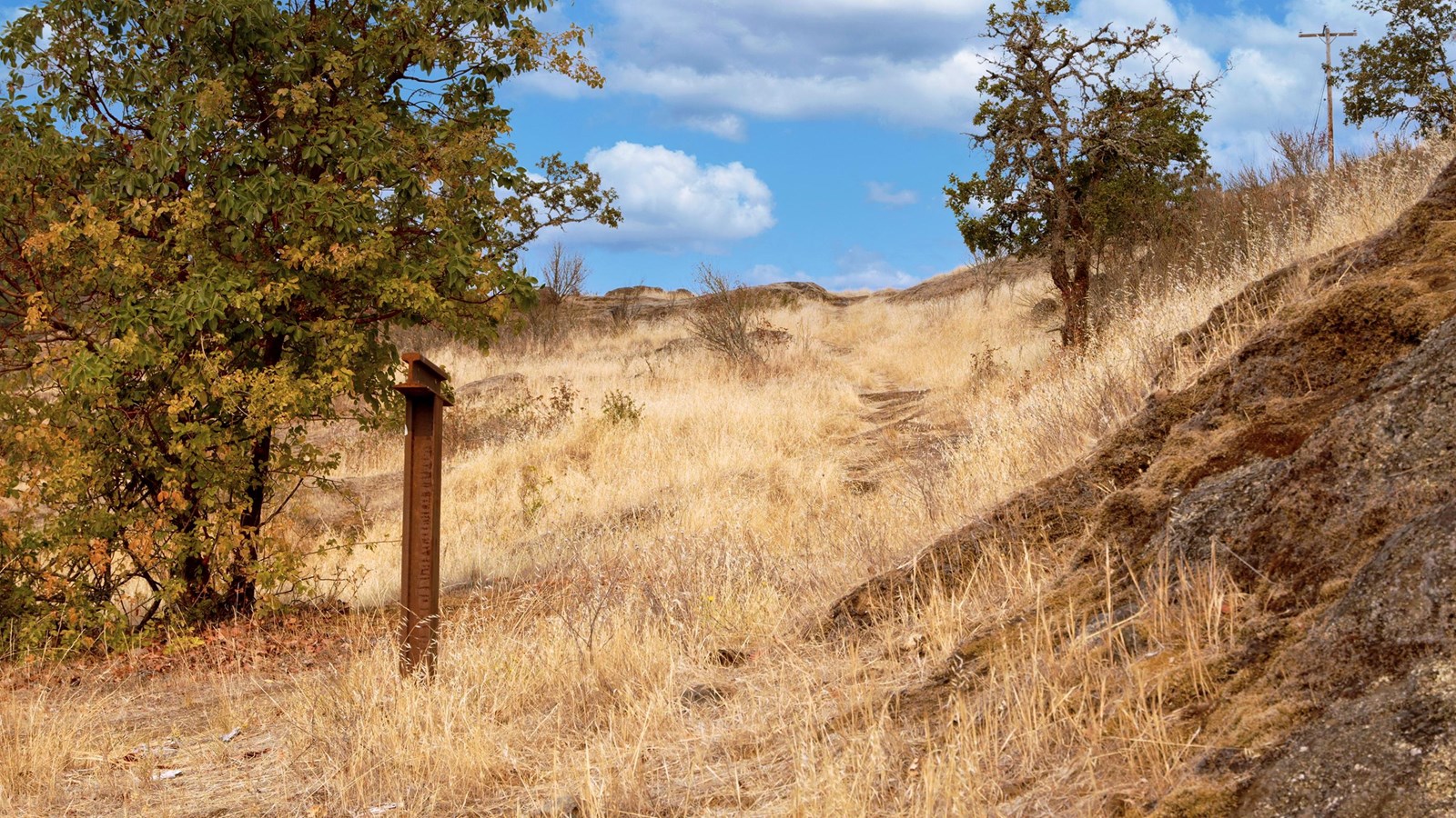
Myrtle Creek Ruts
NPS Photo
Quick Facts
Location:
NW Dole Road, Myrtle Creek, Oregon 97457
Significance:
The longest undisturbed section of the Applegate Trail remaining in Oregon.
MANAGED BY:
Amenities
2 listed
Historical/Interpretive Information/Exhibits, Parking - Auto
The Myrtle Creek Ruts are clearly visible on the hill slope along Dole Road, just northwest of the City of Myrtle Creek, Oregon. A small gravel parking area on the north side of Dole Road, at the end of a private drive offers a chance pull off the road and view the ruts leading up the hill slope. Visitors can walk up the trail to gain a view of the confluence of Myrtle Creek and the South Umpqua River to the south, where travelers paused to rest before taking on this next difficult section of the trail. The I-5 Freeway runs parallel to the trail to the west.
These ruts, worn into the bedrock, are some of the best remaining physical evidence of the Applegate Trail. Beginning in 1846, this California Trail connector was used by immigrants heading north to the Willamette Valley and prospectors searching the hills and river valleys for gold.
The Applegate Trail was established in the ancestral territory of the Cow Creek Umpqua Tribe. The Cow Creek Umpqua endured epidemics, depleted resources, and efforts of immigrants to remove them from their lands. The Cow Creek are a resilient people, with a commitment to preserving their way of life in this area.
Site Information
Location (NW Dole Road, Myrtle Creek, Oregon 97457; a tenth of a mile northwest on Dole Road, from its intersection with Main St. A small pull-out along the north side of Dole Rd offers parking at the end of a private drive. Coordinates: 43.026, -123.294)