Last updated: August 31, 2020
Place
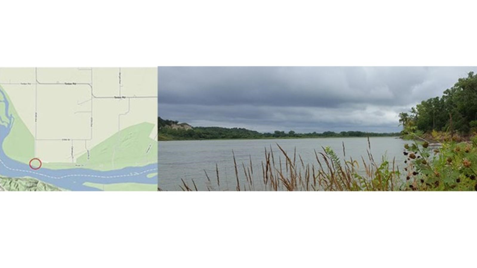
Myron Grove River Access
Quick Facts
Location:
Clay County, South Dakota
MANAGED BY:
South Dakota Game, Fish, and Parks
Amenities
4 listed
Boat Ramp, Canoe/Kayak/Small Boat Launch, Parking - Auto, Restroom
River Mile: 787
Access Type: Boat landing
Restrooms: Yes - but no running water
Water: No
Camping: No
Picnic Facilities: No
Directions: To drive to this boat ramp take South Dakota Highway 50 east from Yankton or west from Vermillion and turn south onto 454 Ave (a sign will read “ Myron Grove Lake Access”). Drive south for 5 miles and then continue south on the gravel road where the asphalt road curves to the left. Follow 454 Ave. 1.6 miles to the river. There is a gravel parking lot.
Notes: This access is on South Dakota side. Canoes and kayaks can be launched at this site.
Myron Grove Boat Launch (River Mile 787.1)
11.4 river miles downstream from St. Helena Boat Ramp is Myron Grove Boat Launch. This access is on the South Dakota side. To drive to this boat ramp take South Dakota Highway 50 east from Yankton and west from Vermillion and turn south onto 454 Ave. (there is a sign that reads "Myron Grove Lake Access"). Proceed ahead for 5 miles and then continue straight ahead on the gravel road where the paved road swings to the left. Follow 454 Ave. 1.6 miles to the river. Canoes and kayaks can be launched at this site; however, the site is inaccessible for larger boats. Emergency primitive camping only is allowed.