Last updated: August 31, 2020
Place
Mulberry Bend Trailhead

Information, Trailhead
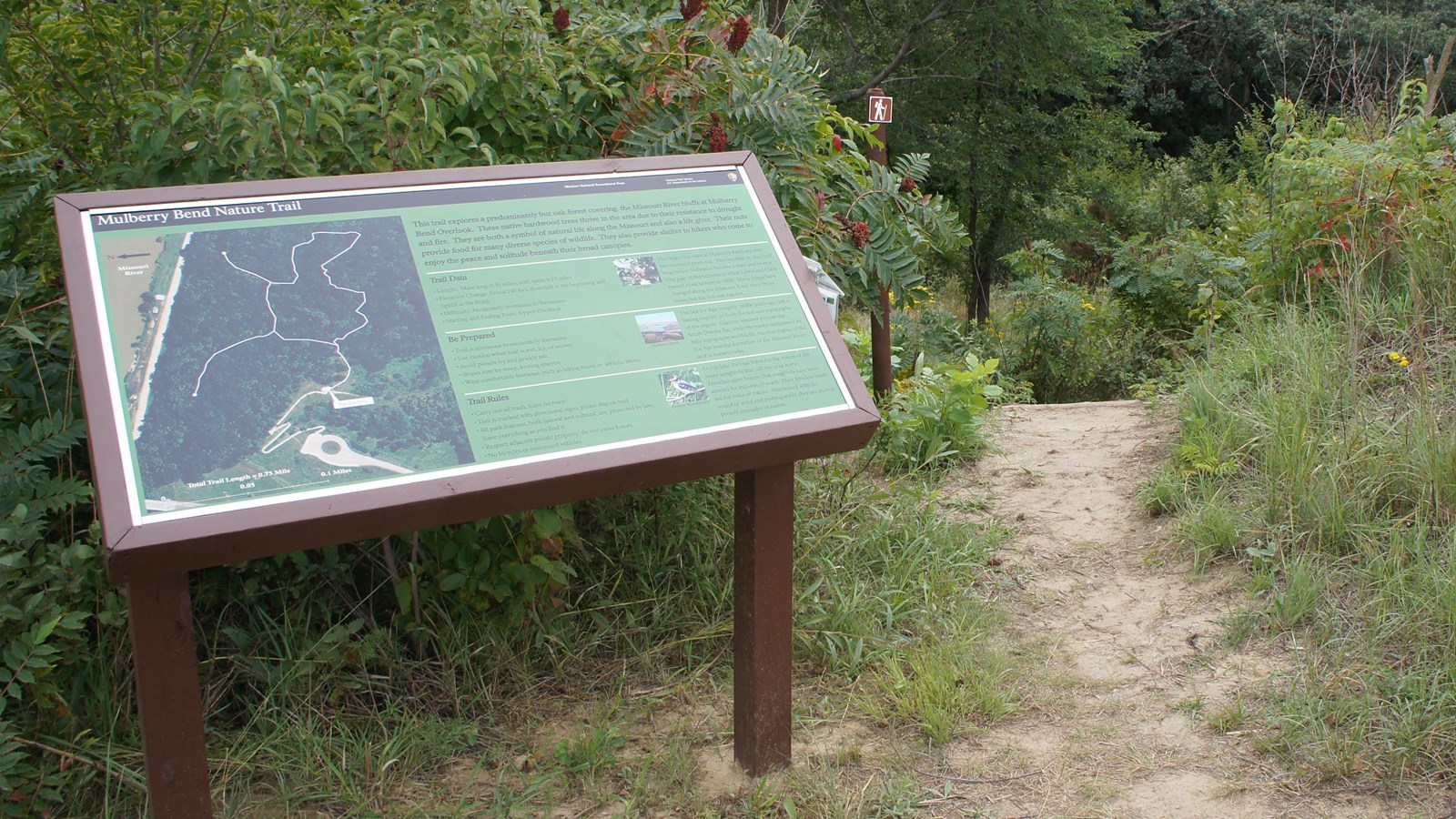
This moderately strenuous unpaved trail begins at the upper viewpoint at the end of the paved trail. It is a 3/4 mile trail consisting of a loop with 2 spurs to viewpoints overlooking the river. The route winds through dense bluff forest of bur oak, cedar, ash, and other native trees. There are four points of interest along the trail including:
1. Bluff Overlook
Beautiful downstream views of the Missouri River can be seen from this vista. Sandbars on the north side of the river provide habitat for white-tailed deer, shorebirds, and cottonwoods.
2. Oak Overlook
Looking upstream you can see the Vermillion-Newcastle bridge spanning the gap between Nebraska and South Dakota. Cliff swallows often build nests under the bridge.
3. River Bend Vista
Before or after your hike, spend some time enjoying the picturesque view of the Missouri. This is one of the highest elevation points at the Mulberry Bend property.
4. Village Vista
Learn about the rich culture that the area has to offer. Displays located along the concrete trail explore the history of American Indian tribes that settled here.
Trail Data
- Length: Main loop 0.50 miles, with spurs 0.75 miles
- Elevation Change: About 140 feet; downhill at the beginning and uphill at the finish
- Difficulty: Moderately Strenuous to Strenuous
- Starting/Ending Point: Upper Overlook
Be Prepared
- Trail is moderately strenuous to strenuous
- Use caution when trail is wet, icy, or snowy
- Avoid poison ivy and prickly ash
- Slopes may be steep; footing uneven
- Wear comfortable footwear, such as hiking boots or athletic shoes
- Watch for ticks
Trail Rules
- Carry out all trash; leave no trace
- Trail is marked with directional signs; please stay on trail
- All park features, both natural and cultural, are protected by law; leave everything you find
- Respect adjacent private property; do not cross fences
- No bicycles or motorized vehicles
- Recreate Responsibly
