Last updated: August 31, 2020
Place
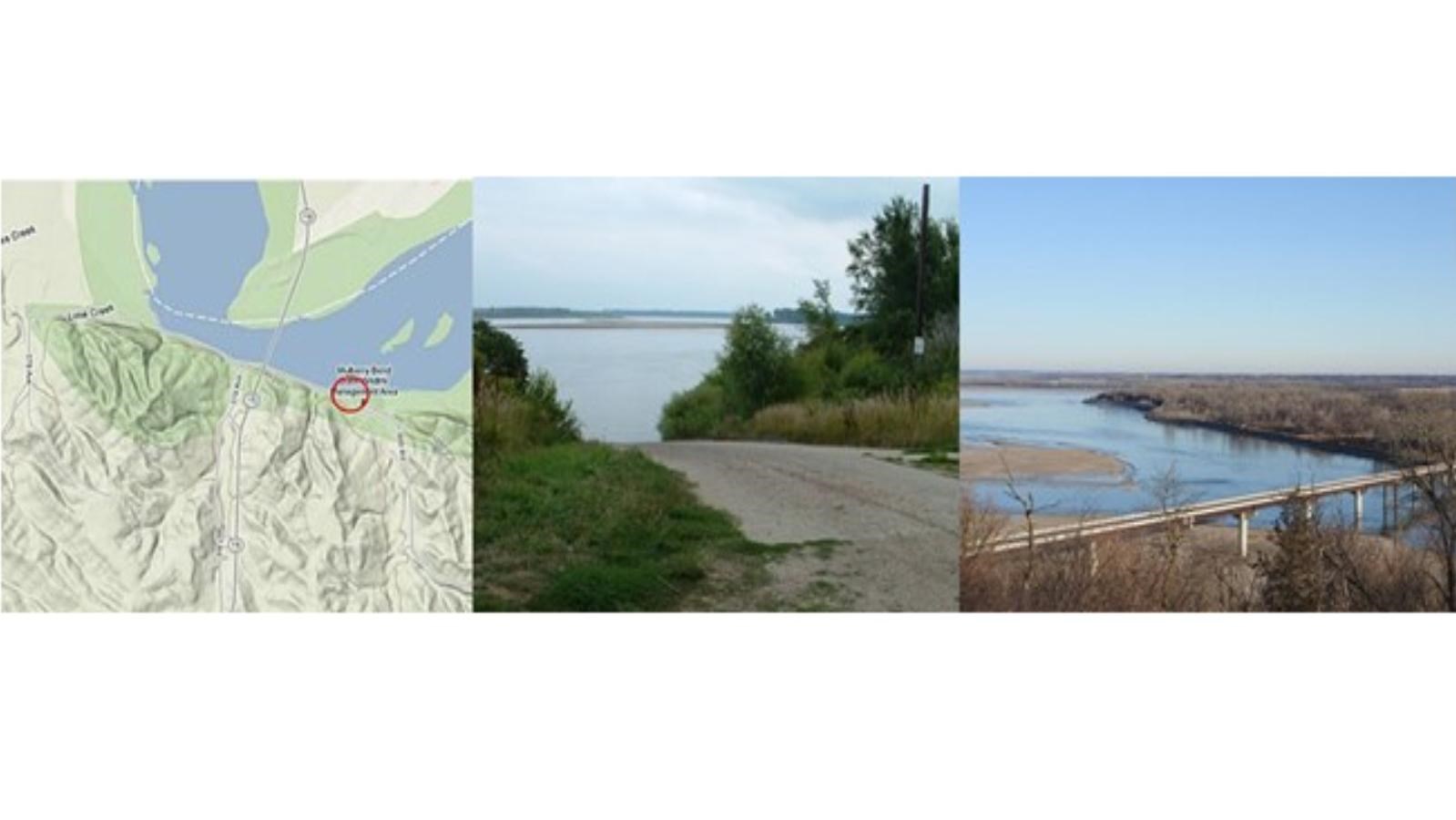
Mulberry Bend River Access

Boat Ramp, Canoe/Kayak/Small Boat Launch, Restroom
Access Type: Boat landing
Restrooms: Yes
Water: No
Camping: Primitive
Picnic Facilities: No
Directions: To drive to this access area take South Dakota Highway 19 south from Vermillion (it becomes Nebraska Highway 15 as soon as you cross the bridge) or Nebraska Highway 15 north of Nebraska Highway 12 toward Vermillion until you come to Road 579. Turn on to this gravel road and continue ahead 2 miles until you come to the boat ramp on your left.
Notes: Mulberry Bend River Access is below the Vermillion-Newcastle Bridge.
Mulberry Bend Boat Launch (River Mile 775.0)
The next river access is on the Nebraska side, the Mulberry Bend Boat Launch. A vault toilet stands nearby and primitive camping only is allowed. To drive to this one-lane concrete boat ramp, take South Dakota Highway 19 south from Vermillion (it becomes Nebraska Highway 15 as soon as you cross the bridge) or Nebraska Highway 15 north toward Vermillion until you come to Road 579. Turn onto this gravel road and continue ahead 1.9 miles until you come to the boat ramp on your left.
