Last updated: October 6, 2022
Place
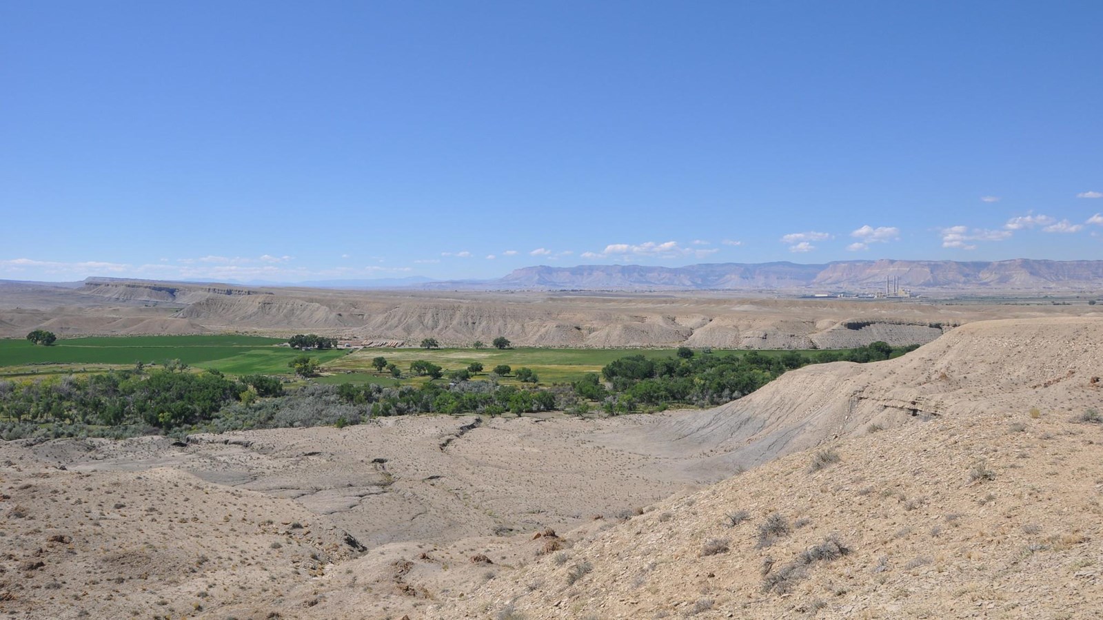
Muddy Creek, Emery County

Photo/Bureau of Land Management
Historical/Interpretive Information/Exhibits
Between 1829 and 1848, pack mule caravans and travelers used the Old Spanish Trail as a trade route between Santa Fe, New Mexico, and Los Angeles, California, which were part of Northern Mexico at the time. River crossings were dangerous undertakings for Old Spanish Trail traders yet also vital for the water and resources they provided in the arid environment. This location along Muddy Creek became a river crossing for travelers on the trail. Because the river could be difficult to cross after heavy rainfall, travelers planned their journeys in such a way to avoid crossings at peak-flow times.
Site Information
Location (Latitude: 38.4028, -110.6929 Longitude: -110.6929)
Muddy Creek is located in Emery County, Utah. The landscape surrounding Muddy Creek is dry and filled with sagebrush and cottonwood trees. As you travel here, you’ll pass through parts of the San Rafael Swell, a large geologic area that has been uplifted and eroded over time, creating many valleys, canyons, mesas, and buttes that can be observed the further you venture in.
A small pull-off is available near the interpretive sign for parking. As you make your way to this site, you may find other cultural sites and evidence of Old Spanish Trail travelers.
The Rochester Rock Art Panel is a nearby site managed by the Bureau of Land Management. This Fremont Culture petroglyph panel predates the Old Spanish Trail travelers, and shows that people have been traveling through and living in this area for millennia.
Safety Considerations
More Site Information
Exhibit Audio Description available
Old Spanish National Historic Trail
-
Emery County - Muddy Creek Exhibit Audio Description
Listen to the audio description of the Emery County - Muddy Creek exhibit.
- Date created:
- 12/02/2021
