Last updated: September 21, 2023
Place
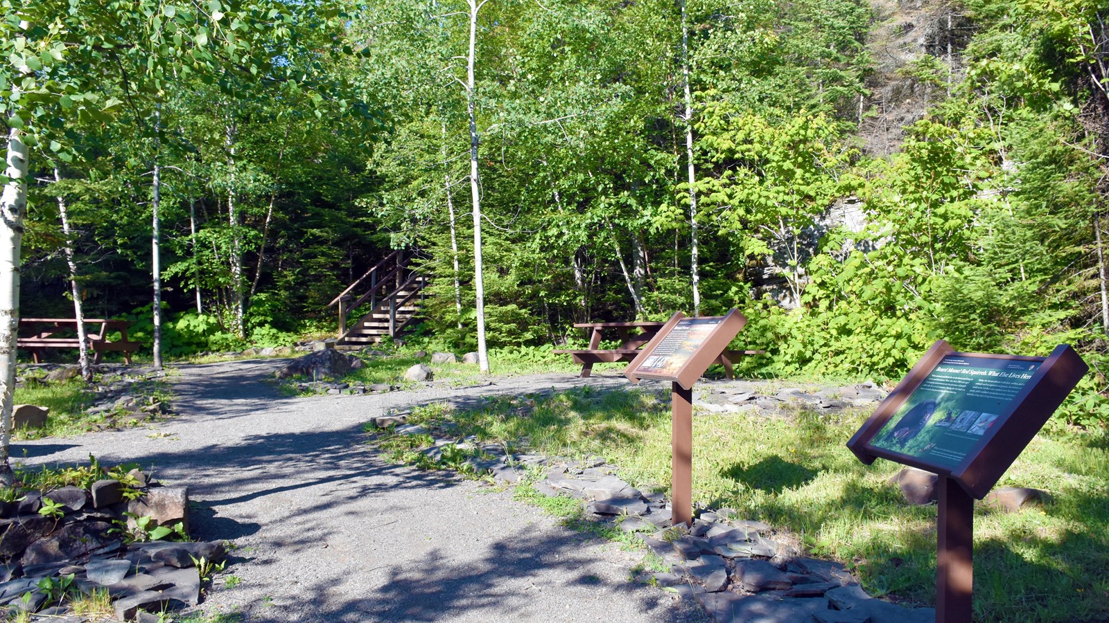
Mount Rose Trailhead (parking lot)

NPS Photo / GM Spoto
Historical/Interpretive Information/Exhibits, Parking - Auto, Picnic Table, Scenic View/Photo Spot, Trailhead
Mount Rose Loop Trail
This dirt path between flights of wooden stairs accessed from the Heritage Center parking lot, near the picnic area, is the steeper, more direct, path to the summit. A series of wooden steps climb the side of an ancient rock wall then a dirt path gently rises along the spine of Mount Rose until it connects with the older paved Mount Rose Trail near the overlook, the highest point of Mount Rose (906 ft., 276 m).
