Last updated: September 25, 2023
Place
Monument Line

NPS / Alyssa Mattei
Quick Facts
Location:
45.945700, -68.738547
Amenities
1 listed
Historical/Interpretive Information/Exhibits
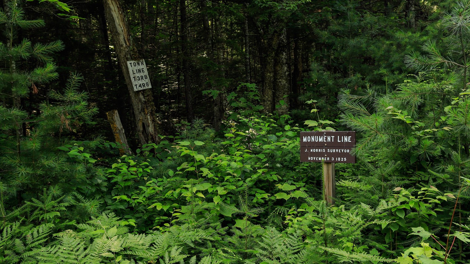
The Monument Line practically cuts Katahdin Woods & Waters National Monument in half. Don't let the name fool you, this survey line is much older than the national monument.
At the end of the Revolutionary War, the Treaty of Paris failed to specify a clear boundary between Maine and New Brunswick. In 1796, negotiators ran a "monument line" due north from the St. Croix River's headwaters to what was described in the treaty as the "highlands" separating rivers draining into the St. Lawrence from those entering the Atlantic - the agreed-upon northern boundary.
Upon Maine's 1820 separation from Massachusetts, Joseph Norris was hired to lay out the boundaries of these unallocated lands between the two states by blazing the trees with markers. In 1825 Maine formed the Maine Boundary Commission authorizing a survey to establish an east to west line for laying out townships: The Monument Line.
This survey allowed an equitable distribution of lands not already incorporated or otherwise conveyed by Massachusetts. Starting from a point where the boundary between Maine and New Brunswick ceases to be the St. Croix River and heads due north (the 1796 boundary), Joseph C. Norris, Sr., and his son ran the line to the west in the summer of 1825. By September, they had reached the Seboeis River, at which point they had to leave the woods for other survey work. Returning in November Norris built a raft to cross the Seboeis, and continued the line west in the face of approaching winter, crossing the East Branch, the Wassataquoik, and on to Katahdin, where on November 10th, in "intensely cold" weather, he reached an enormous drop-off into Northwest Basin, which forced him to abandon the survey for the year. This line allowed for the formation of townships bringing in people like William Hunt, of the notable Hunt Farm, into the area for logging.
Tensions were already running high as lumber operators from Maine and New Brunswick competed for timber in northern Maine. This would eventually lead to the Aroostook War in 1838.
