Last updated: January 16, 2023
Place
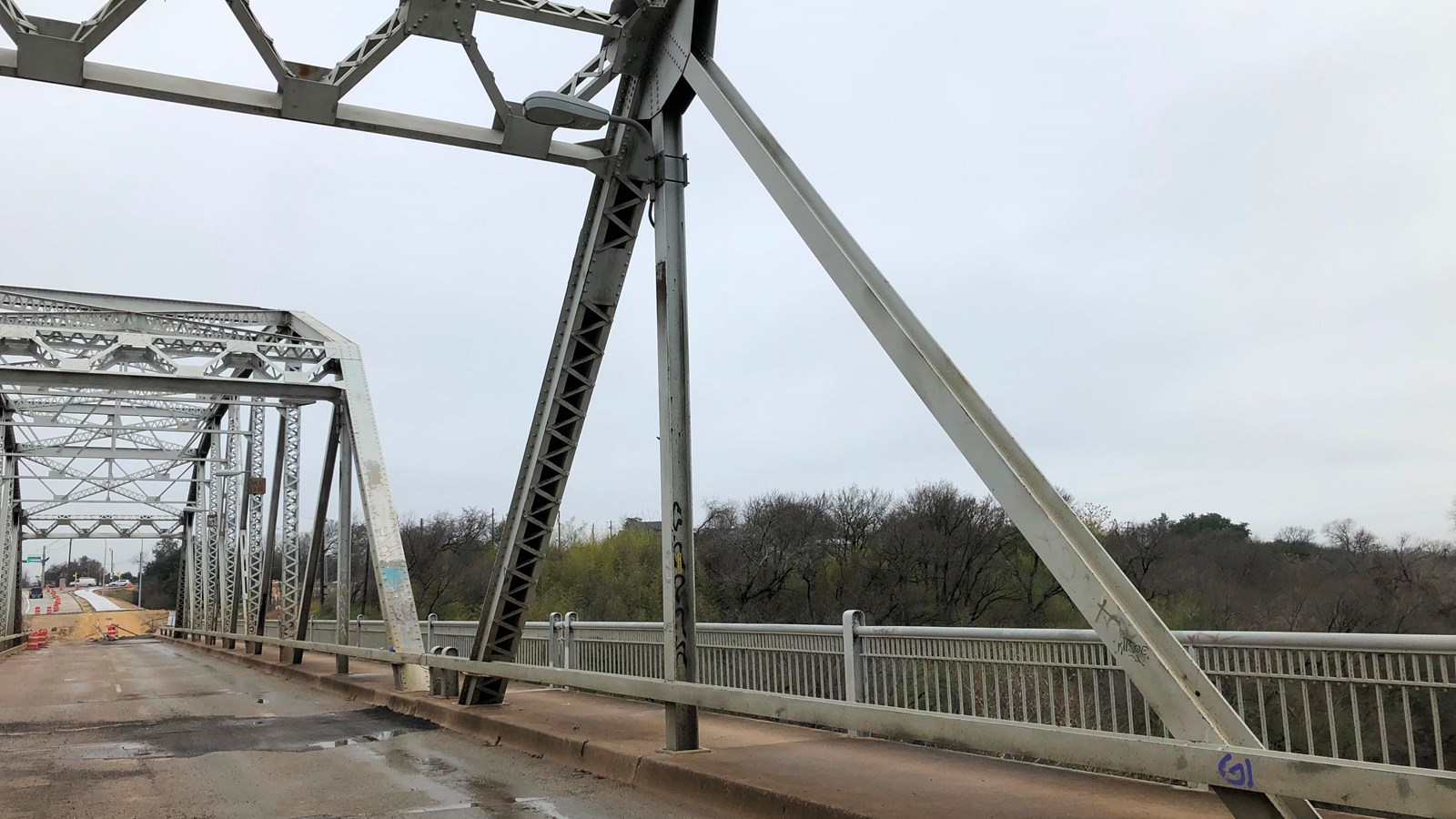
Montopolis Bridge

Photo/NPS
Historical/Interpretive Information/Exhibits
Wondering how a 1930s bridge relates to El Camino Real de los Tejas NHT? The bridge sits at the best river crossing in the area and was the historic trail with the Colorado River crossing just to the east. When standing on the bridge, imagine scores of trail travelers, their carts, and animals, along both sides of the river between the bridge and the Austin skyline.
Site Information
Location (Austin, Texas)
Access
The bridge is open only to cyclists and pedestrians as part of the new hike and bike trail. The path will connect users to multiple trails and parks in Austin. Follow the Camino on foot or bike – using only feet and wheels as travelers did for 300 years when it was the royal road. After all, history and exercise can go hand in hand.
More site information
El Camino Real de los Tejas National Historic Trail
