Last updated: January 27, 2025
Place
Mixed-grass Prairie

NPS/Eric Grunwald
Quick Facts
Amenities
2 listed
Cellular Signal, Scenic View/Photo Spot
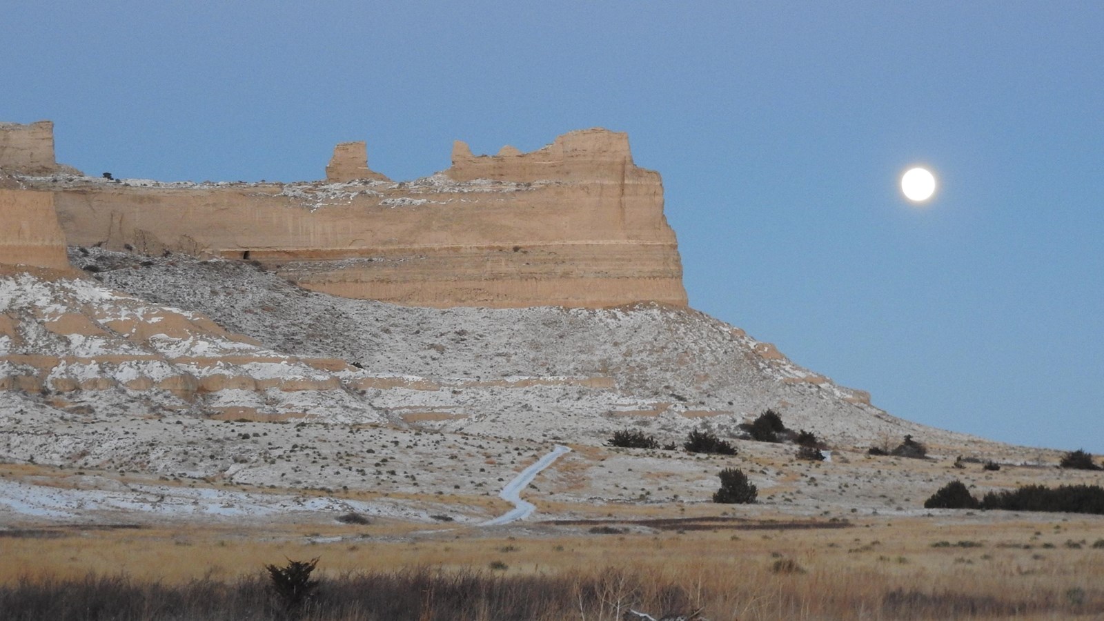
Look around you. You are surrounded by a small, intact example of a mixed-grass prairie ecosystem. Approximately 40% of the 3,000 acres of the Scotts Bluff National Monument is mixed-grass prairie. The prairie would have been a welcomed bounty of nourishment for the emigrant travelers’ livestock. This prairie is dominated by blackroot sedge, and needleandthread grass, both cool season species which makes up about 80% of the groundcover.
If you look off to the west, beyond the Visitor Center you’ll see the geologic formation which led many emigrant travelers to renewed hope, Mitchell Pass. It represented the completion of one-third of their total journey. It also signified the end of the easy section, the level, monotonous great plains was completed and the difficult Rocky Mountains lay ahead. The pass was continuously used beginning in 1851 as the main route through these bluffs. Prior to 1851, the emigrants would have used Robidoux Pass; by switching to Mitchell Pass they shaved a day’s travel off their journey.
Up ahead at our next stop you will see one of the reasons emigrant families may have stopped for an overnight in this area.
-
Mixed grass Prairie
Stop 2 of the Scotts Bluff National Monument Saddle Rock Trail Audio Tour.
- Date created:
- 07/22/2024
