Last updated: September 23, 2020
Place
Mexican Battle Line

NPS photo
Benches/Seating, Cellular Signal, Historical/Interpretive Information/Exhibits, Scenic View/Photo Spot, Trailhead, Wheelchair Accessible
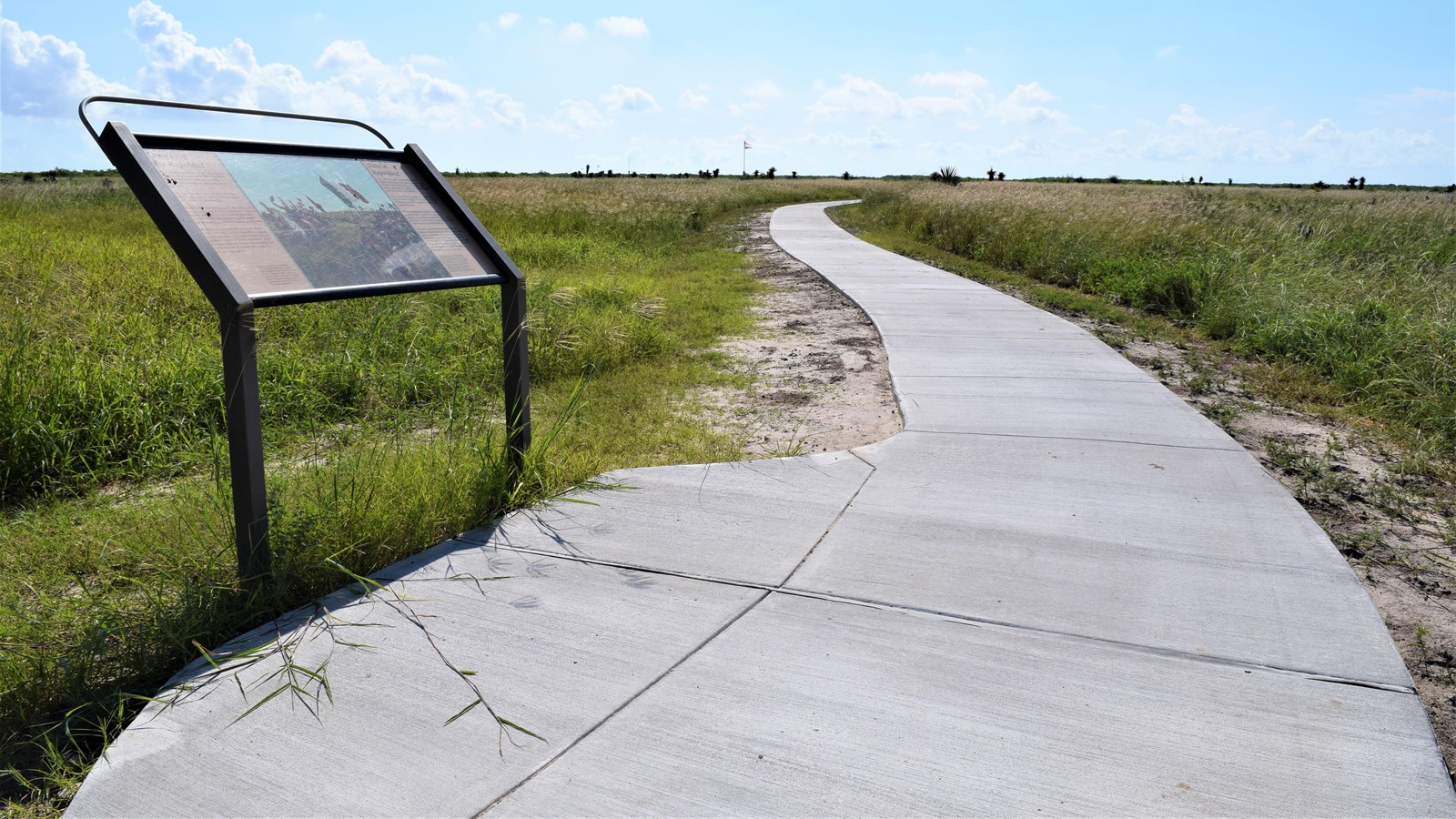
In anticipation of U.S. General Zachary Taylor’s return to Fort Texas, Mexican General Mariano Arista positioned his 3,500 troops here on this spot. The Mexican battle line was almost a mile long and ran east to west on the south end of Palo Alto Battlefield. Arista's rested his left flank right on the road. The object was to stop Taylor’s force from relieving the siege of the U.S. Army’s fort on the banks of the Rio Grande.
The general’s plan was to let Taylor’s army advance down the road or across the field and then envelop him by closing in with his dreaded Lancers.
Unfortunately for General Arista, things did not go as planned. Taylor never did charge down the road. Instead he pulled his artillery forward and the battle of Palo Alto turned into an artillery duel. It was a duel that put the Mexican Army at a disadvantage.
On the afternoon of May 8, 1846, this end of the field took heavy fire from Taylor’s artillery. The U.S. guns bombarded the Mexican battle line with explosive shells from 18-pounder siege cannon and solid shot from 6-pounder field guns, tearing open holes all along the line. Arista army suffered 102 killed, 129 wounded, and 26 missing.
