Last updated: March 22, 2023
Place
Meeting with Cameahwait
Denver Public Library Special Collections
Quick Facts
Location:
Cameahwait Campground, Montana 59725
Significance:
Sacagawea reunited with her relatives at this location in 1805.
Designation:
Lewis and Clark National Historic Trail.
MANAGED BY:
Cameahwait Campground, Montana 59725
Amenities
7 listed
Beach/Water Access, Parking - Auto, Parking - Bus/RV, Picnic Table, Tent Campsites, Toilet - Vault/Composting, Water - Drinking/Potable
“We set out very early on the Indian road . . . the road was dusty and appeared to have been much traveled lately both by men and horses.”—Meriwether Lewis, August 13, 1805
In August 1805, a few Shoshone people traveling on this dusty road came across a group of visitors, one of whom was Meriwether Lewis.
This group of Shoshone people had recently been attacked, and lost twenty friends and family members, most of their homes, and many horses. And yet, they kindly welcomed these newcomers and assisted them on their journey.
The Shoshone people communicated to the visitors using the sign language that was common among Indigenous communities and non-Native traders across North America, which one of the visitors knew.
Cameahwait, the leader of the Shoshone group, led the way in inviting the visitors to smoke and take off their shoes, which signified friendship. They gave the visitors serviceberry and chokecherry cakes, salmon, and antelope. They danced and sang with them into the evening.
The visitors wanted to know what lay on the other side of the mountains. Cameahwait told them that the river leading down to the big river below was difficult to travel—full of rocks and rapids—and that it passed through barren land where few trees grew. The visitors seemed disappointed by this news.
The visitors asked Cameahwait to trade horses. He agreed.
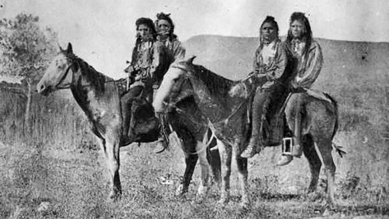
And then, a few days after the visitors arrived, others came to meet them. And to the surprise of Cameahwait, he knew one of them. It was his sister, Sacagawea, who had lived far away for years. And now she held a tiny baby in her arms.
They jumped and danced, hugged and cried, overcome with this reunion that they might never have expected. Sacagawea saw others who she grew up with and tearfully embraced them, as well. She motioned to the visitors who she had been traveling with that she knew these people. They were her family.
Lewis and Clark NHT Visitor Centers and Museums
This map shows a range of features associated with the Lewis and Clark National Historic Trail, which commemorates the 1803-1806 Lewis and Clark Expedition. The trail spans a large portion of the North American continent, from the Ohio River in Pittsburgh, Pennsylvania, to the mouth of the Columbia River in Oregon and Washington. The trail is comprised of the historic route of the Lewis and Clark Expedition, an auto tour route, high potential historic sites (shown in black), visitor centers (shown in orange), and pivotal places (shown in green). These features can be selected on the map to reveal additional information. Also shown is a base map displaying state boundaries, cities, rivers, and highways. The map conveys how a significant area of the North American continent was traversed by the Lewis and Clark Expedition and indicates the many places where visitors can learn about their journey and experience the landscape through which they traveled.