Last updated: December 8, 2021
Place
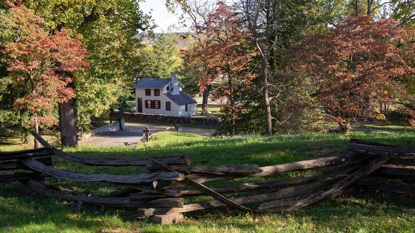
Marye's Heights
NPS Photo
Marye's Heights hovers over the Sunken Road, known at various times as the Court House Road, and, during the Civil War, as the Telegraph Road. Since Fredericksburg’s establishment in the 1720s, people have lived in or near the road. In the 1820s, when John Marye moved into his new home called Brompton, the stately mansion directly north of here, the entire ridge line came to be known as Marye’s Heights.
When the Confederate Army of Northern Virginia arrived here in late November of 1862, they found a nearly perfect position from which to set up a defensive line around the city. From here, they could look east and see the whole town of Fredericksburg, its streets and buildings clustered between these heights and the Rappahanock River.
In 1862 this hill looked out to the city's fairgrounds and the view was much more expansive than it is now. Currently, on a clear day, you can still see many landmarks in town and as far out as Stafford Heights on the opposite side of the Rappahanock River.