Last updated: June 8, 2021
Place
Magnolia Hollow Conservation Area
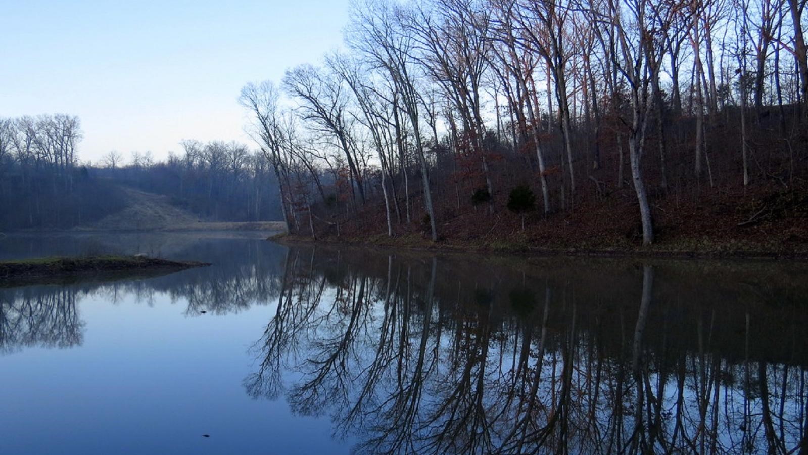
"Magnolia Hollow Lake" by Allen Gathman is licensed under CC BY-NC-SA 2.0
Quick Facts
Location:
Sainte Genevieve, MO
MANAGED BY:
Amenities
6 listed
Accessible Sites, Canoe/Kayak/Small Boat Launch, Parking - Auto, Parking - Bus/RV, Picnic Table, Wheelchair Accessible
Lewis and Clark NHT Visitor Centers and Museums
This map shows a range of features associated with the Lewis and Clark National Historic Trail, which commemorates the 1803-1806 Lewis and Clark Expedition. The trail spans a large portion of the North American continent, from the Ohio River in Pittsburgh, Pennsylvania, to the mouth of the Columbia River in Oregon and Washington. The trail is comprised of the historic route of the Lewis and Clark Expedition, an auto tour route, high potential historic sites (shown in black), visitor centers (shown in orange), and pivotal places (shown in green). These features can be selected on the map to reveal additional information. Also shown is a base map displaying state boundaries, cities, rivers, and highways. The map conveys how a significant area of the North American continent was traversed by the Lewis and Clark Expedition and indicates the many places where visitors can learn about their journey and experience the landscape through which they traveled.
Magnolia Hollow Conservation Area is located 10 miles north of Ste. Genevieve along the Mississippi River and Establishment Creek. A paved trail ends at a disabled accessible viewing platform which provides a panoramic view of the river bottom lands and waterways. In the winter, eagles may soar by or be roosting in trees along the river.
Continue on the one mile trail that loops through this rugged 1,740 acre area overlooking steep bluffs and winding through the woods. Bear to the right when you get to the bottom of the hill. Walk away from the bench toward the creek bed and curve to the right to find the trail “stepping” up the hill. This will take you back to the paved path.
Other facilities available at this conservation area include a skeet range, an archery range, and a rugged camping area with no facilities.
Directions: Take Highway 61 to Route V and go east 1 mile. Then turn left onto Magnolia Hollow Road and continue until it dead ends at a parking area in Magnolia Hollow.