



Last updated: November 9, 2026
Place
Machicomoco State Park
Virginia Department of Conservation and Recreation
Quick Facts
Location:
3601 Timberneck Farm Rd, Hayes, VA 23072
Significance:
Machicomoco State Park contains landscapes connected to the Powhatan Chiefdom and Virginia Indigenous history while offering public access to the York River within the Chesapeake Bay watershed.
Designation:
Virginia State Park; Chesapeake Gateways Network Site
Amenities
5 listed
Canoe/Kayak/Small Boat Launch, Gifts/Souvenirs/Books, Historical/Interpretive Information/Exhibits, Picnic Shelter/Pavilion, Restroom - Accessible
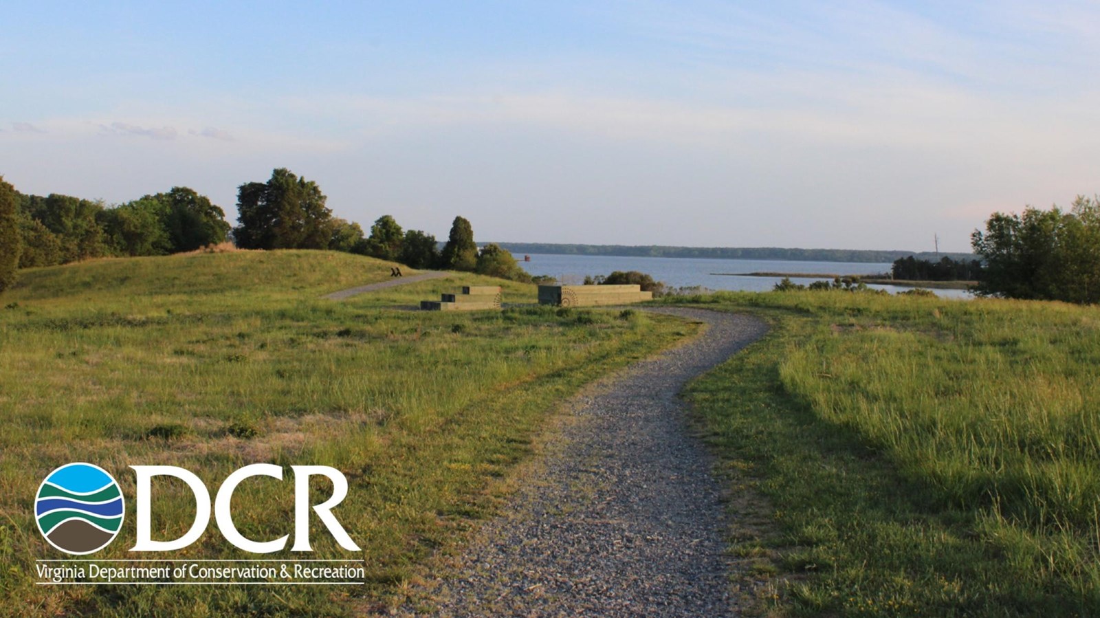
Located along the York River in southern Gloucester County, Machicomoco State Park invites visitors to explore tidewater landscapes connected to the history, culture, and continuing presence of Virginia Indigenous communities. The park lies within Tsenacommacah, the homeland of the Powhatan alliance of Tribes, and is situated about 10 miles downriver from Werowocomoco, the Powhatan village where English colonists first encountered Powhatan leadership in the early 1600s. Named for an Algonquian word meaning “a special meeting place,” Machicomoco was the first state park dedicated to Virginia’s native tribes.
An open-air interpretive pavilion and outdoor exhibits introduce visitors to thousands of years of Indigenous history in the Chesapeake Bay watershed through timelines, cultural interpretation, and landscape features inspired by archaeological discoveries at the site. Throughout the park, trails, interpretive markers, and waterfront views encourage reflection on the relationship between people, land, and water in the Chesapeake region.
The area features a variety of wildlife habitats, including open fields, woodlands, and marshes inhabited by deer, turkeys, songbirds, and birds of prey. Visitors can enjoy hiking or biking on both paved and natural trails, camp at tent sites or in yurts, fish from floating docks, and launch kayaks or canoes into Poplar Creek with access to the York River. Visitors are encouraged to learn more through the park’s website.
An open-air interpretive pavilion and outdoor exhibits introduce visitors to thousands of years of Indigenous history in the Chesapeake Bay watershed through timelines, cultural interpretation, and landscape features inspired by archaeological discoveries at the site. Throughout the park, trails, interpretive markers, and waterfront views encourage reflection on the relationship between people, land, and water in the Chesapeake region.
The area features a variety of wildlife habitats, including open fields, woodlands, and marshes inhabited by deer, turkeys, songbirds, and birds of prey. Visitors can enjoy hiking or biking on both paved and natural trails, camp at tent sites or in yurts, fish from floating docks, and launch kayaks or canoes into Poplar Creek with access to the York River. Visitors are encouraged to learn more through the park’s website.
This location does not accept the America the Beautiful—National Parks and Federal Recreational Lands Pass. Entrance fees and ticket policies are set independently by the managing partner, as detailed on their website.