Last updated: July 7, 2020
Place
Lynn Woods Historic District
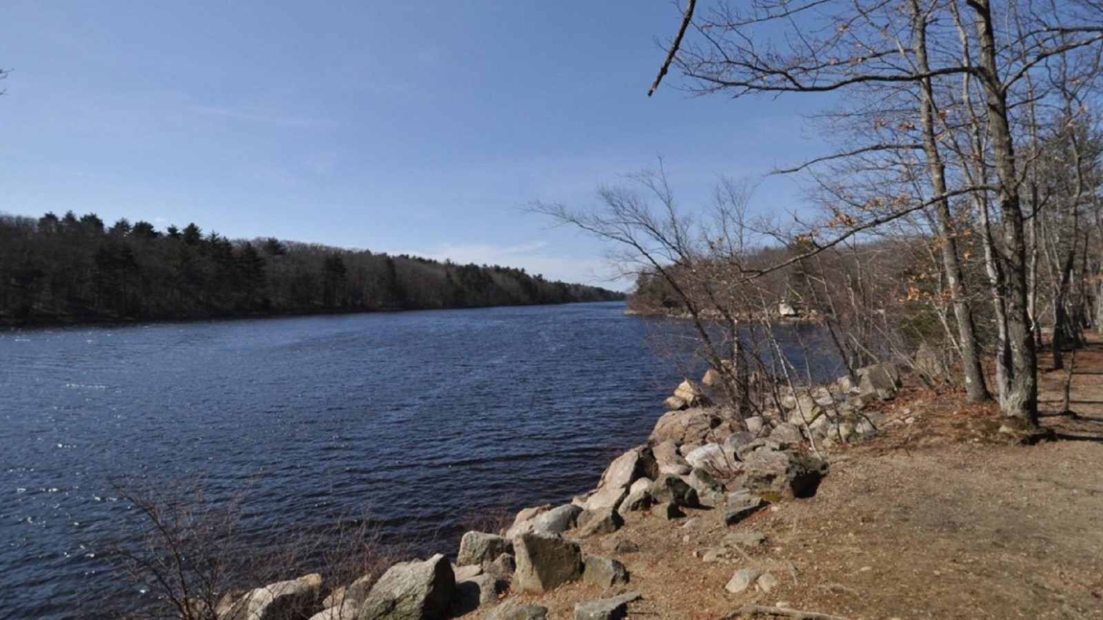
Photo by Magicpiano, CC BY-SA 4.0, https://commons.wikimedia.org/w/index.php?curid=1863438
Quick Facts
Location:
Lynnfield St., Great Woods Rd, Boston, MA
Significance:
Lynn Woods represents a second type of colonial common. This 2,200 acre forested park, owned by the industrial city of Lynn, Massachusetts, encompasses almost twenty percent of Lynn’s land area.
Designation:
National Register Historic District
Lynn Woods represents a second type of colonial common. This 2,200 acre forested park, owned by the industrial city of Lynn, Massachusetts, encompasses almost twenty percent of Lynn’s land area. The cultural history of the area spans thousands of years. American Indian sites and trails have been documented in the area, and the area retains considerable historic integrity dating from the 17th and 18th centuries. Lynn settler William Wood documented Lynn’s various kinds of trees and their uses in New England’s Prospect (1634):
Trees both in the hills and plaines, in plenty be,
The long liv’d Oake and mournful Cypris tree,
Skie-towering Pines, and Chestnut’s coated rough,
The lasting Cedar, with the Walnut Tough;
The rosin-dropping Firr, for mast in use;
The boatmen seeke for oares, light, neat-grown sprewse…
The land was used as a common community woodlot throughout the 17th century. A 1693 town meeting regulation limited acceptable uses, and established a fine of 20 schillings for cutting young trees. In 1706, the Town of Lynn finally voted to divide the common land, but stipulated that community members had rights to cross the land, as long as they did not cut trees on the property. Even after division, the heavily wooded tract remained largely undeveloped through the first part of the 19th century. Some of the place names, such as Ox Pasture, Meeting House Swamp, and Great Woods Road indicate former land uses of the site.
Dungeon Rock and Dungeon Pasture reportedly received their name after pirate Thomas Veal, hiding out in a cave, was buried by an earthquake in 1658, along with his treasure. Some of the features that date from the 17th and 18th centuries include stone walls, roads, woods, and pastures. Dungeon Pasture and Ox Pasture have matching sets of narrow stone-lined holes called Wolf Pits, probably designed to trap predators.
In the 19th century, utilitarian uses of the woods were gradually replaced by recreational uses, eventually building support for the creation of a permanently protected municipal forest park. Formed in 1850 by Cyrus M. Tracey, the Lynn Exploring Circle was the first hiking club in New England. The group established nature trails and camps in the Lynn Woods, some of which still survive. In 1878, the Lynn Water Department created a municipal water supply in the woods by damming an existing millpond. In 1881, a group of Lynn recreationists who wanted to protect Lynn Woods as a public park formed the Trustees of the Free Public Forest. The Trustees purchased several large tracts of land under the authorization of the Massachusetts Park Act of 1882. In 1889, Frederick Law Olmsted was hired as a design consultant. Olmsted recommended that Lynn Woods be kept in its natural state as “rugged and wild forest.” He recommended design elements including a circuit system of carriage roads and walking trails.
Olmsted also recommended that street railway routes be extended from the city to Great Woods Gate, providing easy public access for Lynn’s urban residents.
By 1890, Lynn was one of only a handful of communities with protected municipal parkland. As the metropolitan area continued to grow, more and more of metropolitan Boston’s scenic natural areas were being lost to development. Concerned about the problem, landscape architect Charles Eliot and others mobilized to create a regional park system, the first in the United States. Eliot praised the City of Lynn both for creating its large municipal park and for its unique protected water supply. In his report to the Boston Metropolitan Park Commission in 1893, Eliot wrote:
…To-day the Lynn Woods embrace some two thousand acres, and constitute the largest and most interesting, because the wildest, public domain in all New England… if we exclude the expenditures of the water board, the woods have cost the public treasury of Lynn only thirty-five thousand dollars. About one hundred public-spirited private citizens have contributed in gifts of land and money the equivalent of another thirty-five thousand dollars. Thus for the small sum of seventy thousand dollars the “city of shoes” has obtained a permanent and increasingly beautiful possession which is already bringing to her a new and precious renown.
In the 1920s and 1930s, several new recreational uses shaped the appearance of the park. During the Depression, WPA projects included the creation of a municipal golf course, a rustic clubhouse, a picnic grove, a bandstand, and two observation towers. After World War II, the park suffered from neglect. A growing awareness of the significance of the cultural resources of Lynn Woods led to the inclusion of Lynn Woods in the 1983 Olmsted Historic Landscape Preservation Program, spearheaded by the Massachusetts Department of Environmental Management. In 1989, the Friends of Lynn Woods formed as a private non-profit group providing volunteer support for ongoing maintenance. In 1996, the Lynn Woods Historic District was listed in the National Register of Historic Places.
Lynn Woods Historic District is located in the northern section of Lynn, MA, roughly bounded by the town of Lynnfield and Saugus, and Lynnfield St., Great Woods Rd., and Parkland Ave. in Lynn. For more information, visit the City of Lynn website or call 781-598-4000, or visit the Friends of Lynn Woods website.
To discover more Massachusetts history and culture, visit the Massachusetts Conservation Travel Itinerary website.