Last updated: March 28, 2024
Place
Little Sugar Creek and Old Wire Road

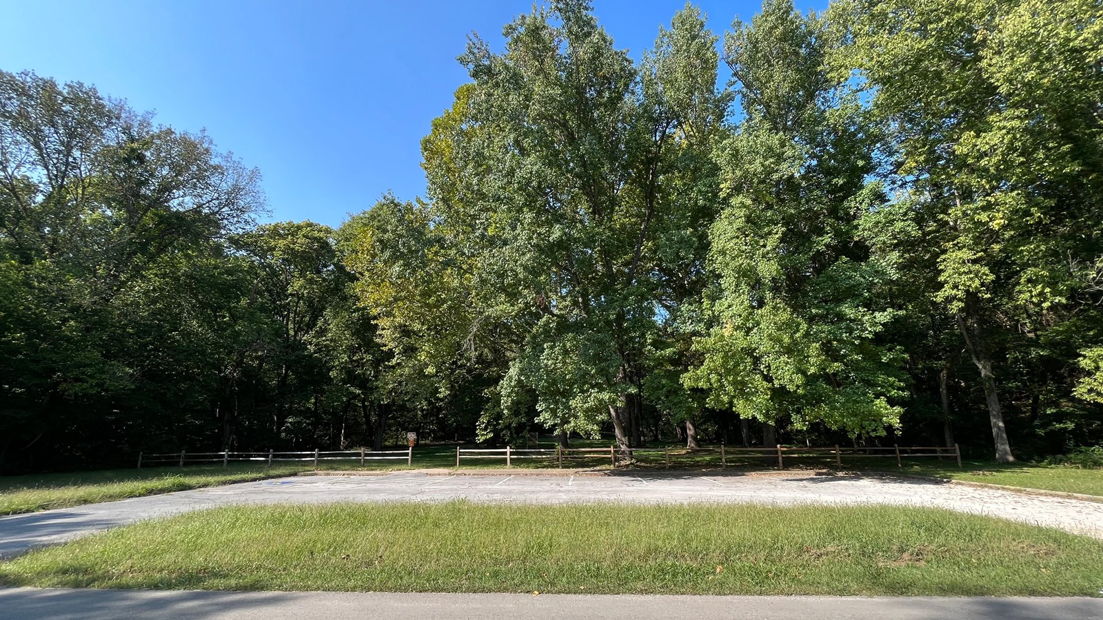
Photo/John McLarty/Trail of Tears Association
Trailhead
The Old Wire Road was a buffalo trace and a hunting route of the Osage and fur traders. The road was cut in 1835 and originally named the Missouri Road. It became a postal route and was a prime route connecting Northwest Arkansas and Indian territory (Oklahoma). In 1837 to 1839 it was called the Springfield to Fayetteville Road and witnessed a peak in Indian Removal with tribes moving west. In 1860 when the telegraph lines were strung along the road it became Telegraph Road and eventually was named Old Wire Road. The alignment has changed very little from 1838-1839 when it carried 12 Trail of Tears detachments on the final leg of their journey to Indian Territory. You may notice different road names throughout the stops on this itinerary, but they all connect to what is still today referred to as the Old Wire Road.
Take a walk along the historic road from the Little Sugar Creek parking lot. View this area detached from by main body of Pea Ridge National Military Park on the park map and note the separate green area to the south of the park’s main boundary.
Five of the 12 detachments are thought to have left the road near this area and went west across Benton County to their disbandment area near Beaties Prairie. If you look at the Trail of Tears map, you can see where the northernmost orange Disbandment Route line goes west from here.
The area is a beautiful natural place with a hiking trail. It is steep in places but take the opportunity to walk a portion of the Trail of Tears. By the time the Cherokee reached this far they had very mixed feelings. They must have been very anxious about going to a new country and what the future may bring. They were also glad to have gotten this far and being near the end of daily traveling and packing, the nightly job of cooking and setting up camp. The site is quiet and reflective. A place to also think about what has happened to put the Cherokee in this situation and to think about those that have not made it and passed away along the journey.
Site Information
Location (Located at a detached portion of Pea Ridge National Military Park and at the intersection of Old Wire Road and Little Sugar Creek, south of the main body of the park off Hwy 44.)
Amenities
There are limited services at this site. It is detached from the main body of the park. A large paved parking lot is available. Contact the park for more details.
Safety Considerations
More Information about the Trail of Tears at Pea Ridge National Military Park
Pea Ridge National Military Park
Pea Ridge National Military Park commemorates an 1862 Civil War battle but tells other stories as well including being on the route of the Butterfield Overland Mail. Some Cherokee returned to the site twenty-five years later to fight in the Battle of Pea Ridge.
Trail of Tears National Historic Trail
Trail of Tears: Northwest Arkansas Itinerary
This site is on the Old Wire Road Itinerary which helps the public explore Trail of Tears sites in northwest Arkansas. Each site features one aspect or story about the Cherokee experience traveling the Trail of Tears in this area as they approach the end of their journey and arrive in Indian Territory (today’s Oklahoma).
