Last updated: March 10, 2025
Place
Lewis in Steubenville
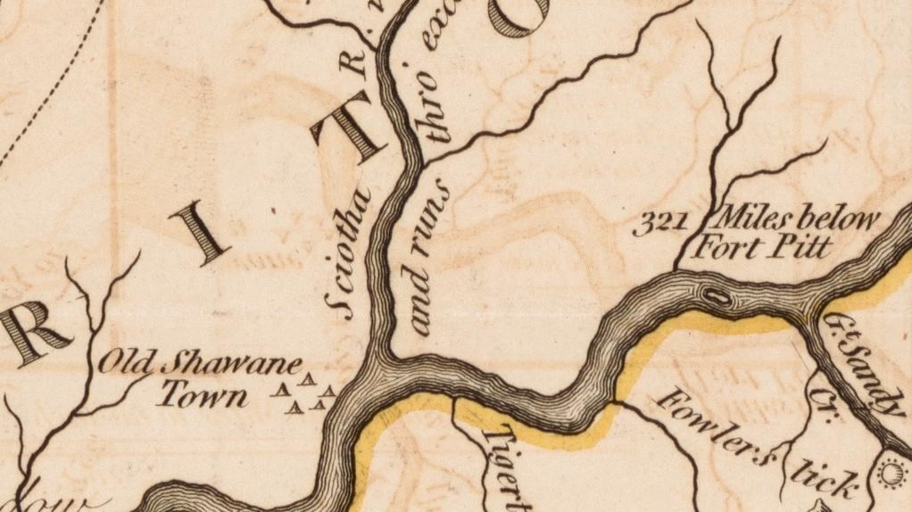
John Filson, "A Map of Kentucky" (London: J. Stockade, 1793).
Quick Facts
Location:
120 S 3rd St, Steubenville, OH 43952
Significance:
Meriwether Lewis stopped in Steubenville in 1803 on his westward journey.
Designation:
Lewis and Clark National Historic Trail
MANAGED BY:
Amenities
10 listed
Benches/Seating, Entrance Passes for Sale, Gifts/Souvenirs/Books, Historical/Interpretive Information/Exhibits, Information, Junior Ranger Booklet Available, Parking - Auto, Restroom, Trash/Litter Receptacles, Water - Drinking/Potable
Lewis and Clark NHT Visitor Centers and Museums
This map shows a range of features associated with the Lewis and Clark National Historic Trail, which commemorates the 1803-1806 Lewis and Clark Expedition. The trail spans a large portion of the North American continent, from the Ohio River in Pittsburgh, Pennsylvania, to the mouth of the Columbia River in Oregon and Washington. The trail is comprised of the historic route of the Lewis and Clark Expedition, an auto tour route, high potential historic sites (shown in black), visitor centers (shown in orange), and pivotal places (shown in green). These features can be selected on the map to reveal additional information. Also shown is a base map displaying state boundaries, cities, rivers, and highways. The map conveys how a significant area of the North American continent was traversed by the Lewis and Clark Expedition and indicates the many places where visitors can learn about their journey and experience the landscape through which they traveled.
“Stewbenville a small town situated on the Ohio in the state of Ohio about six miles above Charlestown in Virginia and 24 above Wheeling—is small well built thriving place has several respectable families residing in it, five years since it was a wilderness”—Meriwether Lewis, September 6, 1803
On this date, Meriwether Lewis and his small crew arrived at the American town of Steubenville.
There had been an American fort at the site, Fort Steuben, built in 1787. It was named after Baron Von Steuben, the Prussian military leader who helped American troops during the American Revolutionary War.31 Von Steuben wrote Regulations for the Order and Discipline of the Troops of the United States, which was the U.S. military’s conduct manual at the time of the Lewis and Clark Expedition.
The fort burned down in 1790, and by 1797, settlers formed a small village near the site of the fort. In 1803, Ohio was admitted to the union as a new state.
“Five years since wilderness.” Lewis meant that it had been five years since White American settlers started coming here. Black families, who were enslaved by the White families, were often forced to join them. Many Shawnee, Delaware, Haudenosaunee, and Cherokee people lived in the multicultural Ohio River Valley, as did folks of French, Spanish, and African descent. It was a place of commerce, a bustling highway full of traders and travelers. If a wilderness was a place with no humans, this was far from that.
For Lewis and others of his background in that era, “wilderness” meant any place without European-style settlements.
Steubenville was one link in the chain of America’s westward expansion.