Last updated: June 8, 2021
Place
Lewis and Clark Heritage Trail
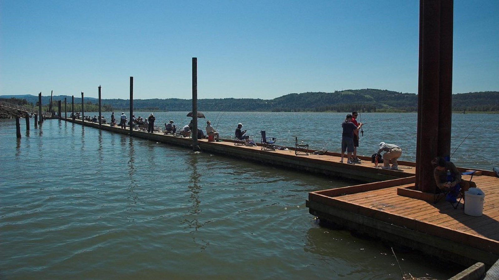
"Steamboat Landing Park" by Diesel Dan is licensed under CC BY-NC-SA 2.0
Quick Facts
Location:
Washougal, WA
MANAGED BY:
Amenities
4 listed
Historical/Interpretive Information/Exhibits, Parking - Auto, Scenic View/Photo Spot, Trailhead
Lewis and Clark NHT Visitor Centers and Museums
This map shows a range of features associated with the Lewis and Clark National Historic Trail, which commemorates the 1803-1806 Lewis and Clark Expedition. The trail spans a large portion of the North American continent, from the Ohio River in Pittsburgh, Pennsylvania, to the mouth of the Columbia River in Oregon and Washington. The trail is comprised of the historic route of the Lewis and Clark Expedition, an auto tour route, high potential historic sites (shown in black), visitor centers (shown in orange), and pivotal places (shown in green). These features can be selected on the map to reveal additional information. Also shown is a base map displaying state boundaries, cities, rivers, and highways. The map conveys how a significant area of the North American continent was traversed by the Lewis and Clark Expedition and indicates the many places where visitors can learn about their journey and experience the landscape through which they traveled.
The trail parallels Cottonwood Beach and is named for Lewis and Clark, who camped there in 1806. Walkers may enjoy taking a partial loop back on the Gibbons Creek Wildlife Trail in the adjacent wildlife area.