Last updated: January 29, 2021
Place
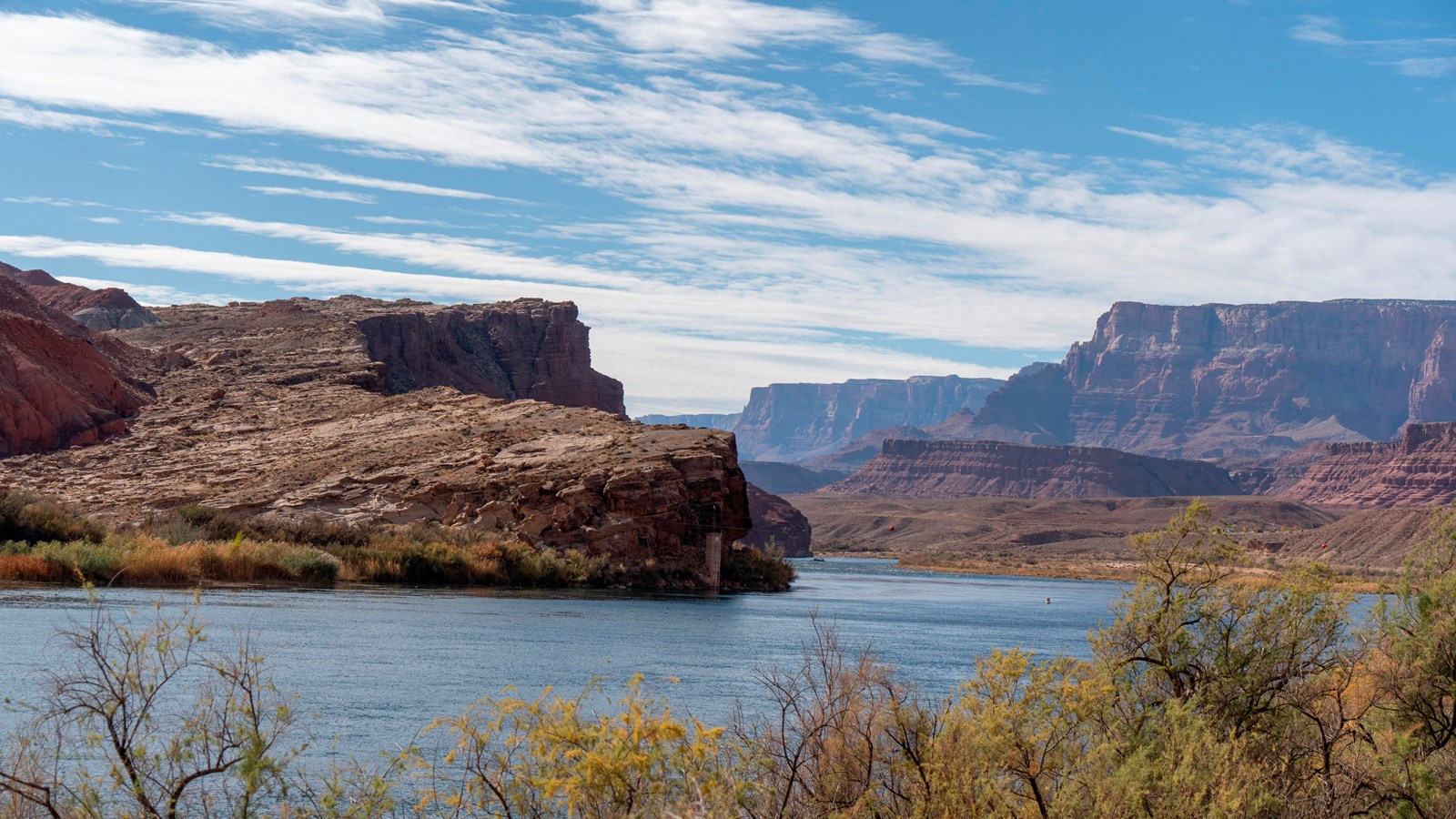
Lee's Backbone

NPS/ Amanda Rich
Quick Facts
Location:
Lees Ferry, AZ
Significance:
Historic River Trail
Amenities
1 listed
Historical/Interpretive Information/Exhibits
Rough, angled rock ledge on opposite river bank.
Until 1899, many pioneers crossed the river near present-day boat dock, necessitating a harrowing wagon ride either up or down the unforgiving rock ledge know as “Lee’s Backbone".In 1960 long dugway or rough-cut road, later allowed travelers to avoid Lee’s backbone. The road is still visible across the river.
Formed 225 million years ago. During the Late Triassic, a slow, meandering river laid down sand and rocks that were cemented into the hard Shinarump conglomerate.
