Last updated: May 27, 2021
Place
Land Use Trail: Farming at the William Floyd Estate

NPS/Sucena
"Back of the salt meadow lay the most fertile part of the estate, though none too good at that, and here the land was cleared into fields for cultivation. But around each lot they left a border, or bauk, of trees; great old oaks, tall hickories and pines to stand against the sky-line."
- Cornelia Floyd Nichols, Letters to My Great-Great-Granddaughter, June 1934
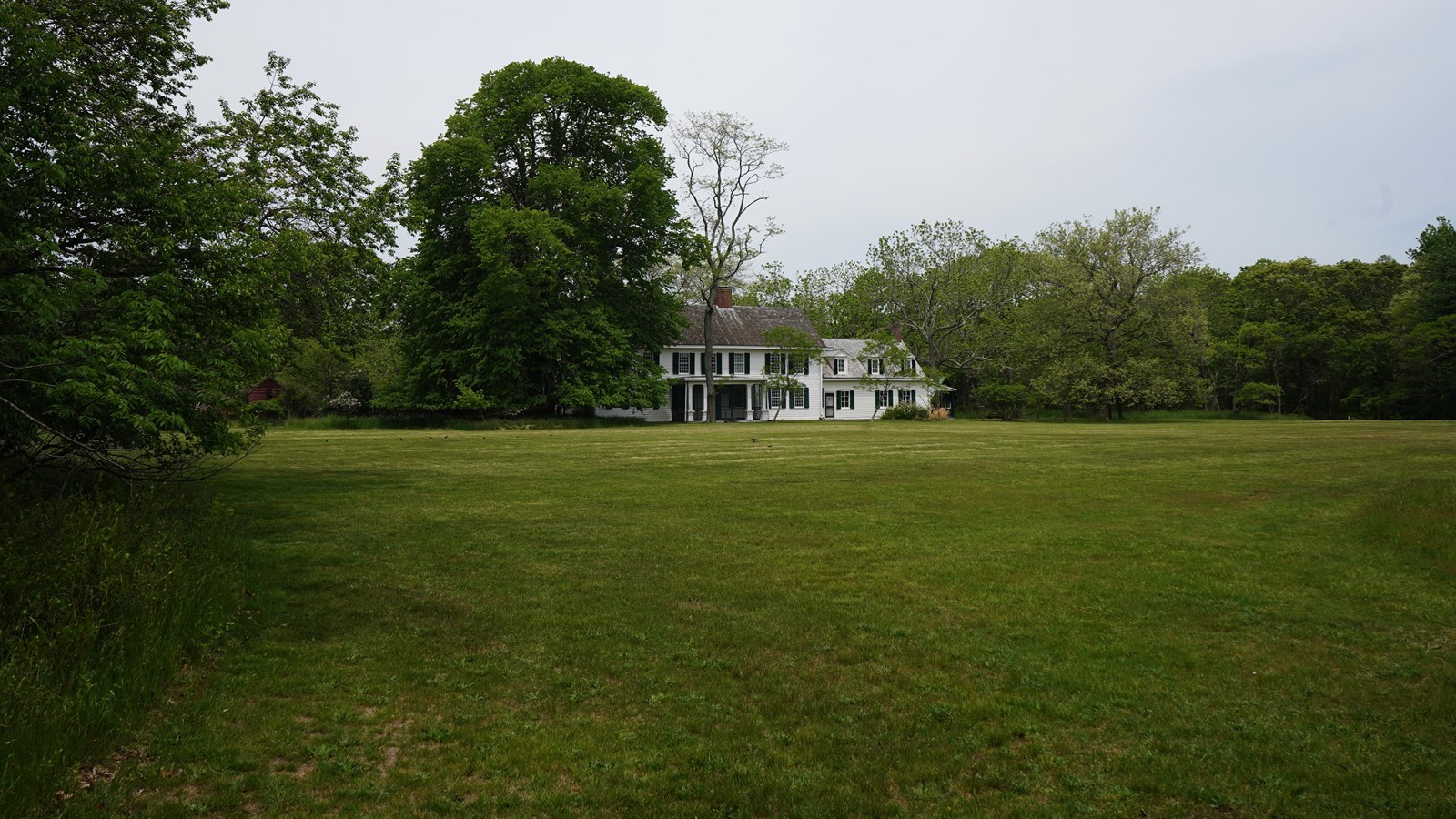
When Nicoll Floyd (1705-1755) established his home on this land, he situated the manor house about a mile back from the water. From this location, the home was not only protected from the harshest winds and storms, but it also provided the family with a view of activities in the lower acreage, Moriches Bay, and Fire Island. Enslaved Blacks developed the lower acreage into an elaborate grid of cultivated fields, pastures and ponds. The farm prospered through the late 18th century and early 19th century, as William Floyd and his son Nicoll employed the skilled labor of enslaved Blacks, free and indentured Indigenous people from the neighboring Poospatuck reservation, and free day laborers.
When the Floyds scaled back and eventually abandoned farming in the late 19th century, they maintained the fields and trails for recreation and hunting. John Treadwell Nichols, husband of William Floyd’s great-great-granddaughter Cornelia, was Curator of Birds and Fishes for the Museum of Natural History in New York. For John and his son David, the estate was an invaluable resource for the study of birds and animals. While you wander the estate, you might even come across a box turtle that was marked and tracked by John, David, and even now National Park Service staff.
