Last updated: April 18, 2022
Place
Lava Falls Trail Stop #9

Connections Over Time
The McCartys flow may be young by geologic standards, but it is old enough to be included in human history. It is very likely that ancestors of today's Acoma Pueblo, Zuni Pueblo, and Navajo Nation all witnessed the McCartys eruption.
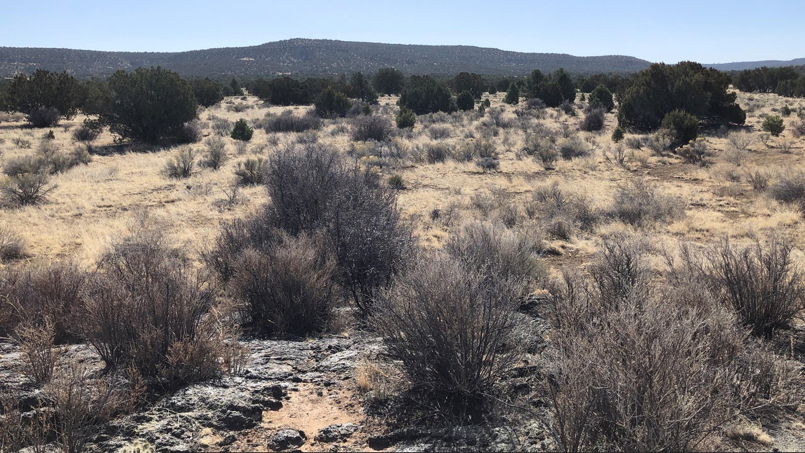
All three Tribes have oral histories that include a battle between two brothers and a monster rising up from the earth. During the battle, the monster bleeds, and when the battle is over, the blood dries black. What color is lava when it flows? What color is the landscape you are on now? Although the word "volcano" is never used, the oral histories of Acoma Pueblo, Zuni Pueblo, and Navajo Nation all document a volcanic event.
These three Tribes and many others in the region maintain a relationship with this landscape today. Acoma Pueblo and Zuni Pueblo continue their connection to the lava and each other with today's Acoma-Zuni Trail (or Zuni-Acoma Trail off of Highway 53), maintaining the connection through lava on foot.
After completing the Lava Falls Trail, you have had the chance to create your own connection and experience with a lava landscape. How do you think you will share this experience in the future?
