Last updated: April 18, 2022
Place
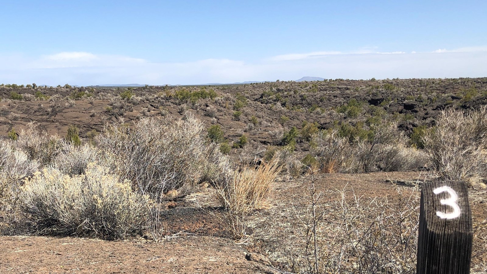
Lava Falls Trail Stop #3
NPS Photo
Quick Facts
Location:
34° 44’ 18.8”; -107° 58’ 41.1”
Significance:
Stop 3 of 9
McCartys Crater
All lava erupts from somewhere, and in the case of the lava you are standing on, it erupted erupted from McCartys Crater. The crater had been a cinder cone volcano, which is the same feature as El Calderon within El Malpais and Wizard Island in the middle of Crater Lake National Park. “Had been” is used because the current McCartys Crater is much shorter than before.
To see its remains, pretend you are standing in the center of a clock. Now, look in the direction of what would be 11:00. A line of boulders and rock rubble lines the middle horizon. If you are looking at the flat-topped ridges in the far distance, you are looking too far.
As a lone, vertical feature in fields of jagged lava, McCartys Crater was viewed as a remote-enough practice target for training air pilots. The cinder cone and the nine square miles around it were bombarded with practice and live bombs for ten months.
Despite two major unexploded ordnance removal projects, there are likely still unexploded ordnance in the area closest to McCartys Crater. If you see something, take note of GPS coordinates if able, safely leave the area, and immediately let a park ranger know.