Last updated: March 31, 2023
Place
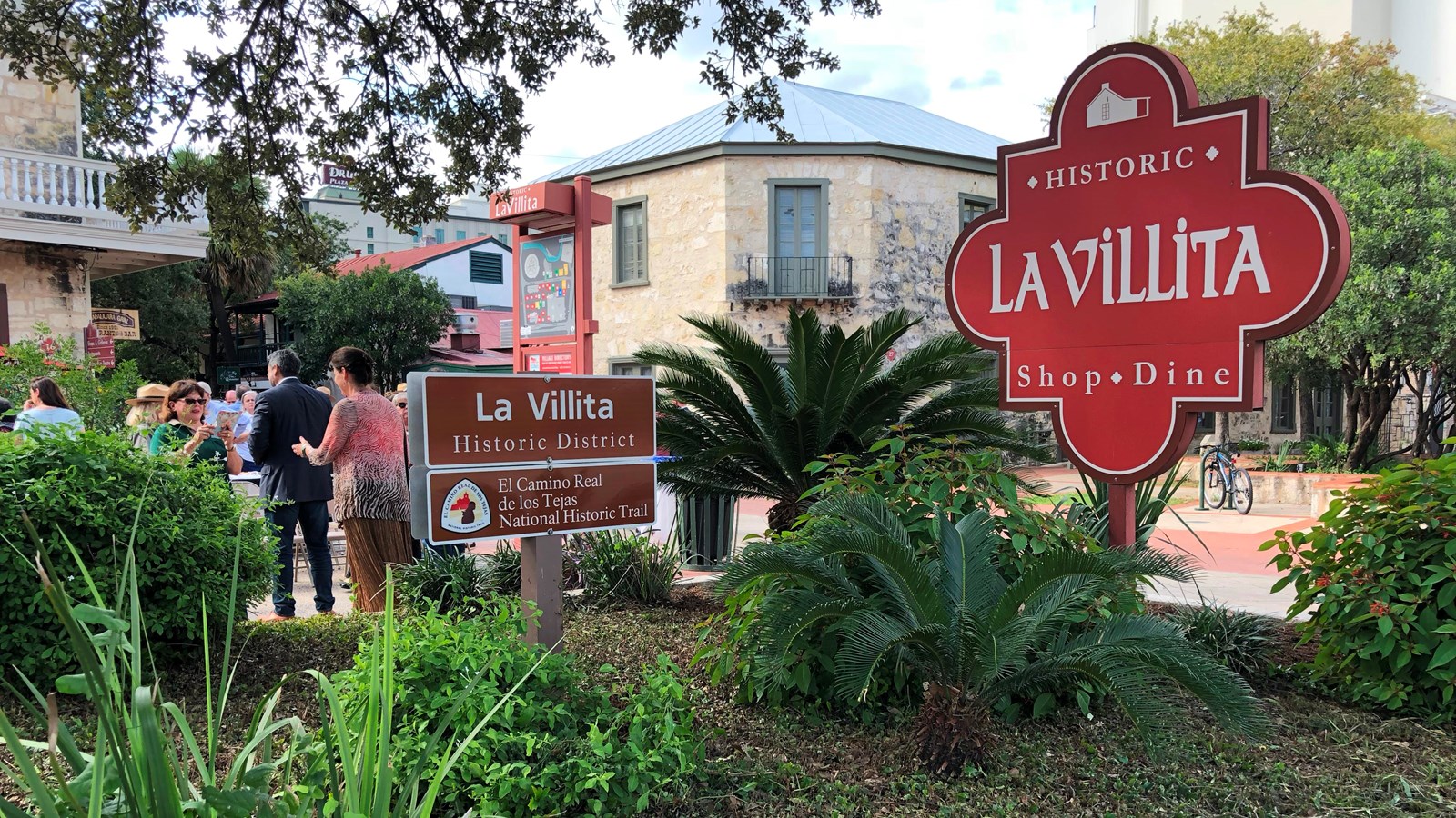
La Villita Historic District

Photo/NPS
Historical/Interpretive Information/Exhibits
La Villita was San Antonio’s first neighborhood. It was originally a settlement of primitive huts for the Spanish soldiers stationed at Presidio San Antonio de Bexar. After a flood in 1819, brick, stone, and adobe houses replaced the earlier structures. In 1836 La Villita was the site of General Santa Ana’s cannon line in the Battle of the Alamo, and a map from early that year showed the village to be of considerable size.
Site Information
Location (bounded by the San Antonio River, South Alamo Street, East Nueva Street, and South Presa Street, San Antonio, Texas)
Available Facilities/Exhibits
Today La Villita is a thriving art community (a series of small shops). It is a historic district listed on the National Register of Historic Places.
