Last updated: December 18, 2020
Place
Keoneheʻeheʻe Overlook

NPS Photo / Camryn Riddell
Historical/Interpretive Information/Exhibits, Scenic View/Photo Spot
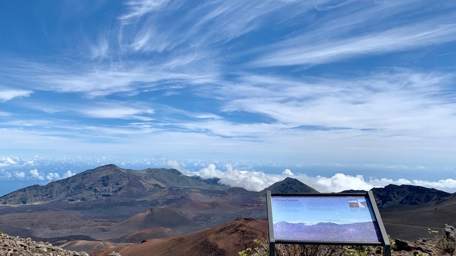
The Keoneheʻehe’e Wayside Overlook is 0.25 mile (0.4 km) from the trailhead, located near the Haleakalā Visitor Center parking lot. On a clear day, the Wayside offers broad views of the expansive Haleakalā crater.
Here, you can learn about the formation of this shield volcano as well as factors contributing to its erosion. The current dimentsions of the crater are roughly 7.5 miles(12 km) by 2.5 miles (4 km), and if you continue on the trail, you can expect to descend about 3,000 ft (914 m) in elevation to the crater floor. Once twice as deep, subsequent eruptions of Haleakalā have partially filled in the valley with flows and the 14 multicolored cinder cones (puʻu) you can see from this vantage point. The two breaks in ridgeline visible from this overlook are the Koʻolau Gap (left) and Kaupo Gap (right) where lava once flowed out. The last eruption in the crater area was roughly 1,000 years ago, while the most volcano's most recent eruption on Maui was actually on the island's southern coast, between 400 and 600 years ago. Geologists still consider Haleakalā an active volcano, with the potential for future eruptions.
Native Hawaiians have been traversing the crater for hundreds of years as a way to get from one side of the island to the other. Cattle ranchers have also driven cattle through the crater to get to greener pastures or summer watering holes. While this is no longer allowed, cattle can still be seen grazing outside of park boundaries on the drive up the mountain. The current Keoneheʻehe’e trail was built by the Civilian Conservation Corps (CCC) in 1937. The CCC created 20 miles (32 km) of trail throughout the crater which are still very popular today.
