Last updated: May 3, 2022
Place
Kates Plateau Trail

NPS/Dave Bieri
Trailhead
Labeled (3) on the Glade Creek Trails map
Length
5.1 miles/8.21 km (Round-trip)
Difficulty
Strenuous
Trail type
Hiking only
Trail Description
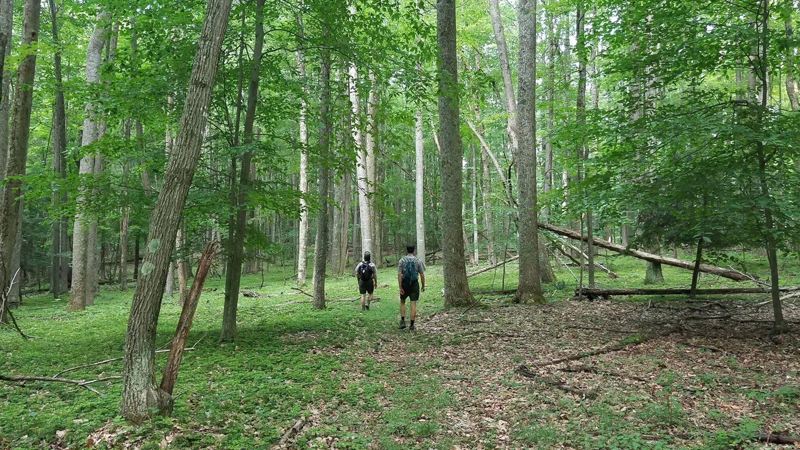
Look for signs of beaver, deer, and turkey as you follow old logging roads. The 5.1 mile trail passes through fields, forests, and near wetlands. Initially the trail passes under Interstate 64, then crosses Kates Branch. The creek crossing of Kates Branch can be challenging and involves some steep terrain. The trail is marked by blazes through the forest and includes one steep section.
Note
The southern section of the Kates Plateau Trail that connects Upper Glade Creek to the Kates Plateau Loop is currently closed due to a slide.
To reach the trailhead from Upper Glade Creek
The access from Glade Creek is currently closed due to a slide.
To reach trail from the Polls Plateau Trail
Take I-64 to exit 133 (Bragg). Exit the highway and head north for 0.8 miles, following the main road. Turn left at a church onto Polls Branch Road. Follow that to the parking area at the end of the road.
