Last updated: November 21, 2023
Place
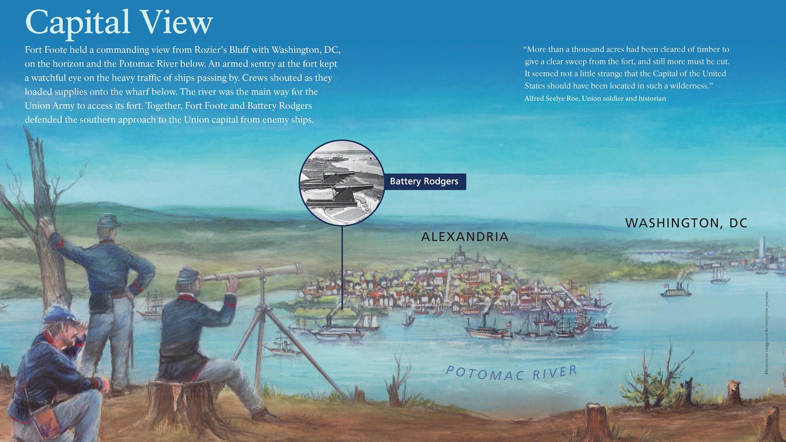
Interpretive Panel: Capital View

NPS
Quick Facts
Amenities
2 listed
Historical/Interpretive Information/Exhibits, Parking - Auto
(Distances are exaggerated for interpretive purposes.)
Fort Foote held a commanding view from Rozier’s Bluff with Washington, DC, on the horizon and the Potomac River below. An armed sentry at the fort kept a watchful eye on the heavy traffic of ships passing by. Crews shouted as they loaded supplies onto the wharf below. The river was the main way for the Union Army to access its fort. Together, Fort Foote and Battery Rodgers defended the southern approach to the Union capital from enemy ships.
“More than a thousand acres had been cleared of timber to give a clear sweep from the fort, and still more must be cut. It seemed not a little strange that the Capital of the United States should have been located in such a wilderness.”
- Alfred Seelye Roe, Union soldier and historian
