Last updated: January 16, 2024
Place
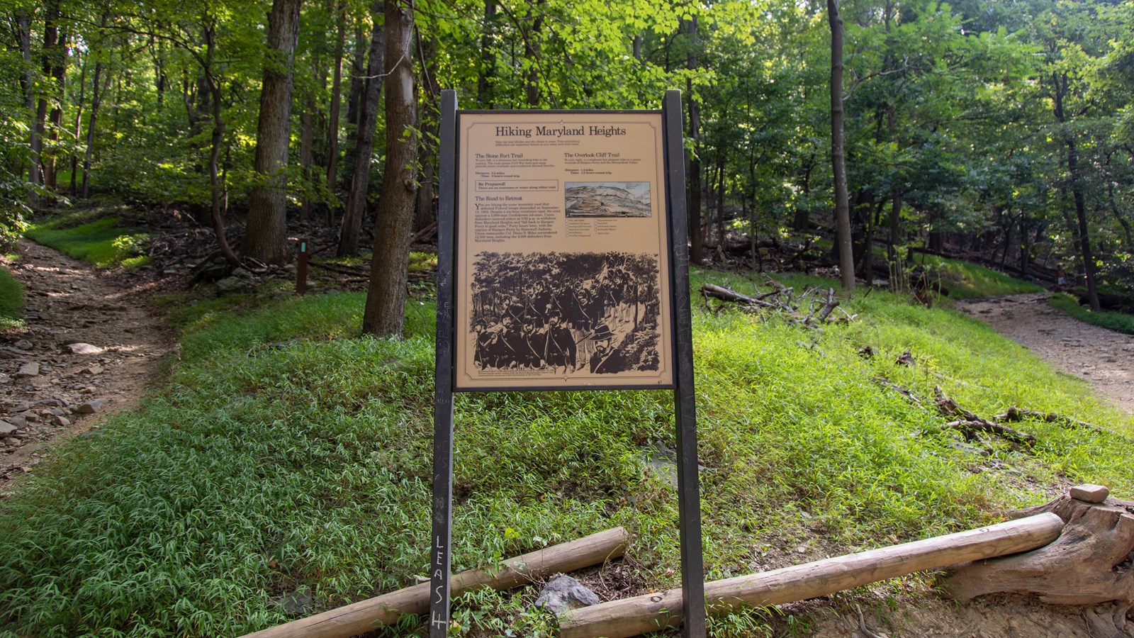
Information Panel: Hiking Maryland Heights

Photo: NPS / Claire Hassler
Historical/Interpretive Information/Exhibits
Here the trail divides and the choice is yours. Time and hiking difficulties are important factors as you select your trail route.
The Stone Fort Trail
To the left, is a strenuous but rewarding hike to the summit. The route passes Civil War forts and campgrounds, scenic overlooks and weathered charcoal hearths. Be prepared! There are no restrooms or water along either trail.
Distance: 3.3 miles
Time: 3 hours round trip
The Overlook Cliff Trail
To your right, is a moderate but pleasant hike to a scenic overlook of Harpers Ferry and the Shenandoah Valley.Be prepared! There are no restrooms or water along either trail.
Distance: 1.4 miles
Time: 1.5 hours round trip.
The Road to Retreat
You are hiking the same mountain road that defeated Federal troops descended on September 13, 1862. Despite a six-hour resistance upon the crest against a 2,000-man Confederate advance, Union defenders received orders at 3:00 p.m. to withdrawal from Maryland Heights and "fall back to Harpers Ferry in good order." Forty hours later, with the capture of Harpers Ferry by Stonewall Jackson, Union commander Col. Dixon S. Miles surrendered 12,500 men, including the 2,000 defenders from Maryland Heights.
