Last updated: January 16, 2024
Place
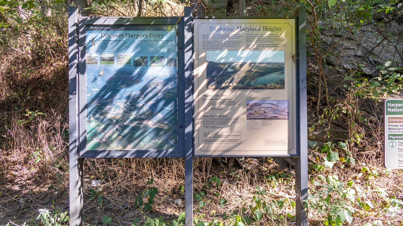
Information Panel: Exploring Maryland Heights

Photo: NPS / Claire Hassler
Historical/Interpretive Information/Exhibits
Near the Visitor Center: Battlefield and Trails
Experience Harpers Ferry's tumultuous past. Pick up park trail maps and guides at the historic center. Walk the Murphy Farm trail where W.E.B. DuBois marched for civil rights on the site of a former Civil War battlefield. Discover the story of the 1862 Battle of Harpers Ferry by exploring Bolivar Heights and Schoolhouse Ridge battlefields.
In the Lower Town: Historic Village, Rivers, Trails
From here take the free shuttle bus to Lower Town: Explore Civil War era homes, industry and shops. See where John Brown fought against slavery- catapulting the nation into the Civil War. Discover Camp Hill and the story of Storer College. Hike up Maryland Heights and enjoy the panoramic view of the Shenandoah and Potomac rivers. Walk to the Appalachian Trail or bike along the C&O Canal Towpath.
Exploring Maryland Heights
As the highest ridge surrounding the town of Harpers Ferry, Maryland Heights once bustled with private industry and Civil War occupation.
Antietam Iron Works, a major nail producer in the early 1800s, burned the timber of the heights for charcoal to fuel its furnance and forges. Traces of charcoal hearths and roads remain today as testimony to this industry.
Civil War earthworks, stone fortifications, and encampments transformed the mountain into a fortress from 1862 to 1865. Today, these former defenses and camps are some of the best preserved Civil War ruins in the United States.
Nature has reclaimed Maryland Heights, but hiking these trails offers a look at the weathered and silent ruins of the past.
Suggested Day Hikes
Overlook Cliff Trail (red)
A steady climb to a scenic overlook with excellent views of Harpers Ferry and the confluence of the Potomac and Shenandoah Rivers. This trail also explore a Civil War fortification.
Distance: 2.8 miles
Time: 2 hours round trip
Stone Fort Trail (blue)
A more strenuous hike, steep in spots, to the summit. Along the way are weathered charcoal hearths and the ruins of Civil War defenses and military campgrounds. Scenic vistas reveal Maryland Heights as a strategic mountain citadel on the boarder between the North and South.
