



Last updated: October 9, 2026
Place
Humboldt Wells
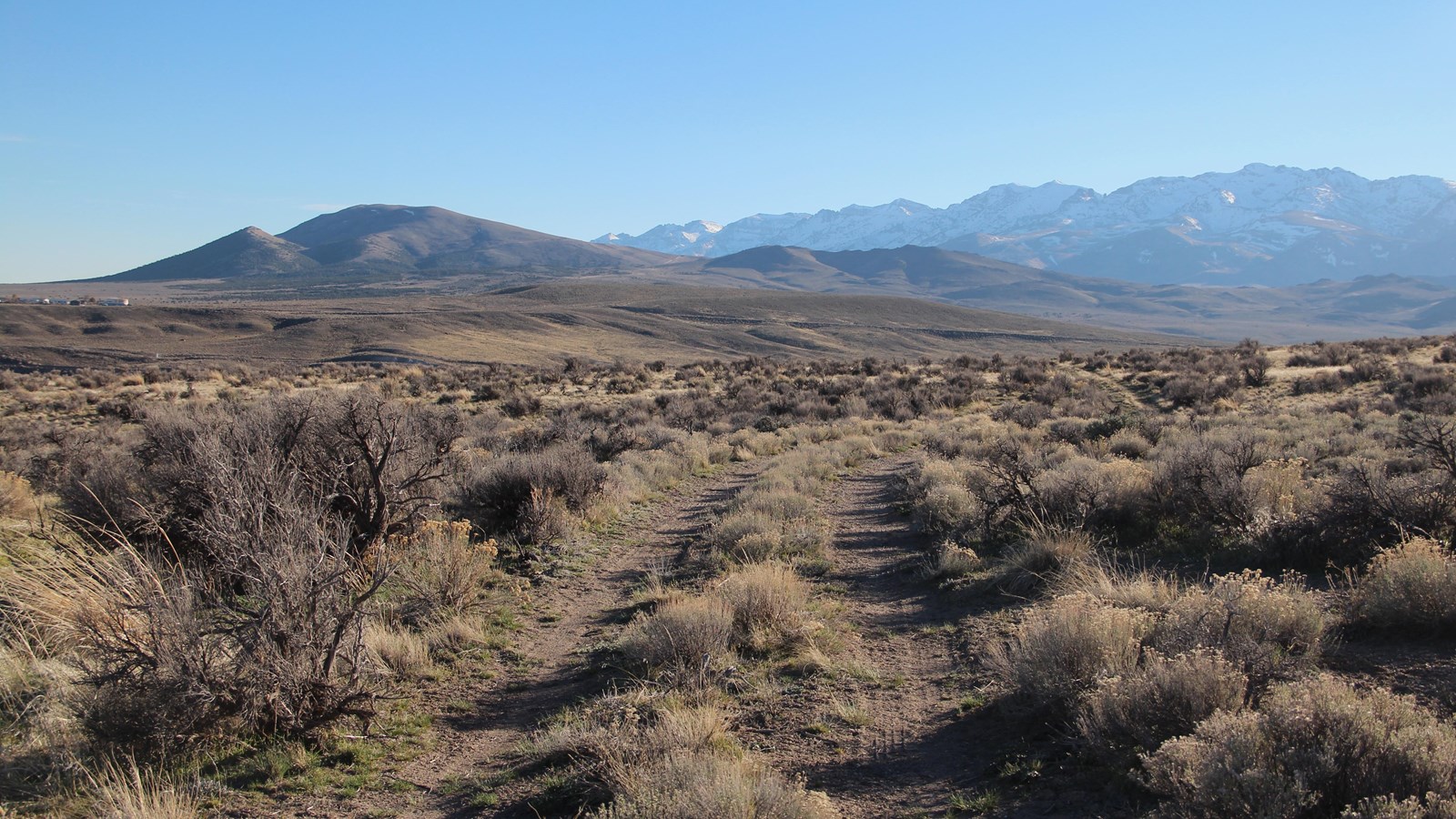
Photo/L. Kreutzer
Quick Facts
Location:
Historic trail ruts descending to Humboldt Wells, about 2 miles north of Wells on Radar Rd: GPS 41.140965 -114.974312 Interpretive overlook at the north end of 7th St., Wells: GPS 41.117796 -114.971093
Significance:
Humboldt Wells, a valley once dotted with numerous small but deep waterholes, or “wells,” is widely regarded as the headwaters of the Humboldt River. Between 1845 and 1869, California-bound emigrants camped and rested their livestock here before continuing along the river.
Designation:
Historic site on the California National Historic Trail.
Amenities
2 listed
Historical/Interpretive Information/Exhibits, Parking - Auto
Humboldt Wells, at present-day Wells, Nevada, marked an important milestone for many California-bound emigrants. Here they finally reached the long-anticipated Humboldt River, which would guide them for more than 300 miles toward the Sierra Nevada. The “wells”—a series of natural deep springs that form the river’s headwaters—were later modified for agricultural use. For emigrants, however, this lush oasis offered a welcome respite. Many camped here for several days to rest, repair their wagons, and allow their livestock to graze.
According to emigrant accounts, the springs were bell-shaped and measured 10 to 20 feet deep with openings about 6 feet across. Livestock sometimes slipped into these waterholes while trying to drink. Some plunged in head-first and drowned before they could be rescued. Traveling to California in 1852, John Clark noted that one spring contained a “big sheet iron stove thrown there by someone who had got tired of hauling it, I suppose.” Clark also observed “many small fish” in the wells.
To reach the valley, travelers had to descend a long, moderately steep slope at the south end of the Snake Mountains. Nearly a mile of wagon ruts still survives on Bureau of Land Management lands north of Wells.
To visit the ruts, enter Wells at I-80 Exit 351 and turn north onto Humboldt Ave/Business I-80. Drive 0.9 mile to the end of the avenue and turn right (southeast) onto 7th St. Take an immediate left across the railroad tracks. Turn right on 8th St and take the first left onto Wells Ave, heading northeast out of town.
At the fork about ½ mile beyond the tracks, set your trip odometer and bear left . Continue northwest up the hill toward the communications facility and towers, staying on the main bladed road. The road crosses a wetland area that is part of the historic “wells” locale and passes a private development on the right. At the fork beyond the development, continue straight on the main road. At odometer mile 1.7, look on the left for a T-shaped trail marker made of railroad rail. Park here or drive along the 2-track wagon ruts until the road becomes too rough for your vehicle and then follow the ruts as far as the fence marking the boundary between public and private land. The wells were located in the valley beyond.
When returning to Wells, cross the railroad tracks and turn right (northwest) on 7th St. Follow it for about a quarter-mile to a large turnaround with a wooden observation deck and interpretive wayside exhibits at the California Trail Overlook.
Site Information
Location (Historic trail ruts descending to Humboldt Wells, about 2 miles north of Wells on Radar Rd: GPS 41.140965 -114.974312 Interpretive overlook at the north end of 7th St., Wells: GPS 41.117796 -114.971093)