


Last updated: November 18, 2026
Place
Hudspeth Cutoff
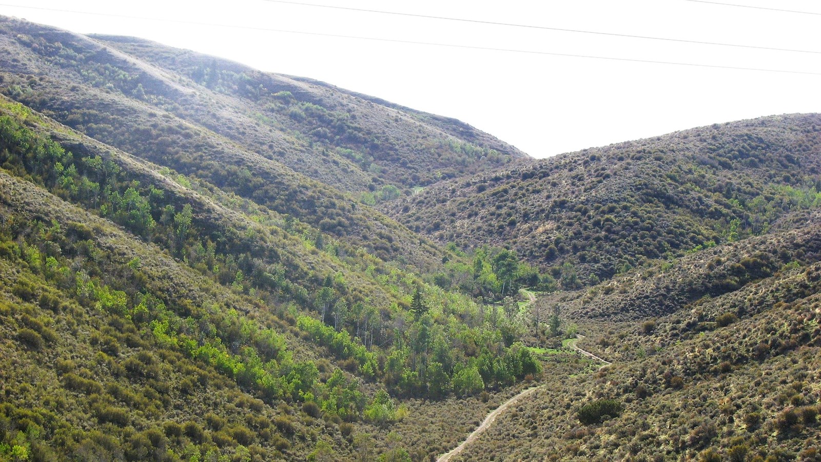
Photo/Jerry Eichhorst
Quick Facts
Location:
Hudspeth Cutoff splits away from the Fort Hall Rd of the Oregon-California Trail at Sheep Rock (Soda Springs), Idaho, and merges with the California Trail some 113 miles later, west of Malta, Idaho.
Significance:
For emigrants bound for California, the 1849 Hudspeth Cutoff was 25 miles shorter than the original Oregon-California Trail through Fort Hall. Gold-seekers immediately adopted it, and most California-bound traffic abandoned the Fort Hall Route.
Designation:
Historic site on the California National Historic Trail.
MANAGED BY:
Amenities
1 listed
Scenic View/Photo Spot
Upon reaching Sheep Rock, west of Soda Springs, on July 19, 1849, a large wagon train led by frontiersmen Benoni Hudspeth and John Meyers turned off the Oregon-California Trail to open a cutoff they believed would shorten the journey to California. Rather than continuing northwest to Fort Hall, the new route would turn southwest toward the Humboldt River in present-day Nevada, putting them well ahead of the gold rush throngs.
News of the Meyers-Hudspeth Cutoff, now known as Hudspeth Cutoff, spread rapidly. Rumor claimed it would reduce travel by 60 to 70 miles compared to the route through Fort Hall, so many wagon companies chose to follow it. Forty-niner Elijah Farnham reached the turnoff at Sheep Rock on July 20 and noted that the day-old track already “look[ed] like an old road of a good deal of travel.”
The reality proved far less impressive. When the Meyers-Hudspeth company rejoined the established California Trail near present-day Malta, Idaho, on July 24, its members were astonished to discover they were nowhere near the Humboldt River. Instead, they remained in the Raft River drainage, only about 80 miles west of Fort Hall and still east of City of Rocks. Their 113-mile cutoff had crossed 4 difficult mountain ranges while gaining only about 25 miles. Any time savings amounted to hours rather than days.
Even so, traffic on Hudspeth’s challenging shortcut immediately boomed. The route offered advantages that emigrants valued: plentiful firewood instead of sagebrush, better grazing for livestock, and more accessible water. The junction at Sheep Rock became another “Parting of the Ways,” where Oregon-bound travelers continued toward Fort Hall while most California emigrants turned onto Hudspeth Cutoff.
Hudspeth Cutoff carried much of the California-bound wagon traffic until 1859, when many travelers began using the newly completed Lander Road, a government-funded route that connected South Pass directly to Fort Hall. A widely publicized attack on an emigrant party traveling the cutoff that same year may also have hastened its decline.
On July 27, 1859, the twenty-member Sheperd-Wright Party departed Twin Springs, now a public campground along Old Hwy 37/Holbrook Rd, despite warnings of possible attacks ahead. A few hours later, the emigrants rolled into a Shoshone-Bannock ambush in narrow South Fork Rock Creek Canyon. Five men died, and several, including 2 infants, were injured during the ordeal. Members of another wagon train arriving the next morning buried the dead in a wagon box beside the trail.
Today, unpaved roads approximate much of Hudspeth Cutoff. Because navigation can be challenging and satellite reception may be unreliable, visitors are encouraged to travel with an organized tour or carry detailed topographic maps. Idaho historical markers interpreting the route stand near both ends of the cutoff: one on U.S. 30 at milepost 376.2 between Lund and Lava Hot Springs, and the other on ID-77 east of Conant.
Site Information
Location (Hudspeth Cutoff splits away from the Fort Hall Rd of the Oregon-California Trail at Sheep Rock (Soda Springs), Idaho, and merges with the California Trail some 113 miles later, west of Malta, Idaho.
GPS east end from US-30 at Sheep Rock: 42.64935 -111.71215
GPS Twin Springs campground: 42.26361621 -112.765472
GPS Shepherd-Wright attack site: 42.276287 -112.872777 (approximate)
GPS west end junction with Fort Hall route of California Trail: 42.27317 -113.44921)