



Last updated: June 16, 2026
Place
Hope Wells
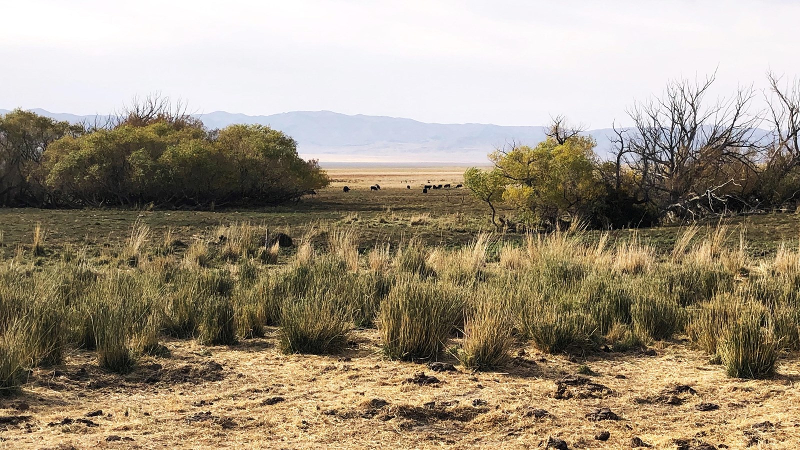
NPS Photo
Quick Facts
Location:
Private property; landowner permission required. The site is at Ensign Ranches of Utah, North Ranch Feedlot, on UT-169/Skull Valley Rd 15 mi southwest of I-80 Exit 77. View from road at approximately GPS 40.539533 -112.745969
Significance:
Emigrants filled their kegs at Hope Wells, the last good water before the “fearsome long drive” ahead: 90 miles across dry mountains and salt flats to Donner Springs. These springs figure importantly in the story of the Donner Party as the place where those emigrants found and pieced together a note warning them of the salt desert dry drive ahead.
Designation:
Historic site on the California National Historic Trail.
OPEN TO PUBLIC:
No
MANAGED BY:
Private
Amenities
1 listed
Scenic View/Photo Spot
T. H. Jefferson, a highly skilled mapmaker of mysterious background, traveled with one of the first emigrant companies to cross the Hastings Cutoff of the California Trail in 1846. His expertly detailed map and notes of the route, published in 1849, advised travelers to “[t]ake in a supply of water and green grass at Hope-Wells” in preparation for a multi-day dry drive across mountains and the Great Salt Lake Desert.
Heinrich Lienhard, a Swiss immigrant whose company traveled west with Jefferson, described in his Aug. 17 journal how his party spent their time at Hope Wells preparing for that drive: “The carefree time now past, each of us was occupied loading into the wagons the prepared grass and the small, water-filled receptacles, and that with all possible care, so that under no circumstances should any be lost. The oxen we led once more to water, for now they could drink all they might desire, but this would not be the case hereafter.” (They would find one more chance to water 11 miles away at Redlum Springs in the Cedar Mountains, but the water there was so brackish that livestock often refused to drink.)
The Donner-Reed Party, delayed by hacking their own trail through the Wasatch Mountains, reached Hope Wells 10 days later. There the emigrants found the windblown scraps of a notice that had been posted by trail guide Lansford Hastings, who was traveling ahead with the advance companies. Tamzene Donner, a matriarch of the company, patched together enough scraps to recover Hastings’s warning: “2 days----2 nights----hard driving----cross----desert----reach water.” Like Lienhard’s company, the Donner-Reed Party rested and watered their oxen, filled water casks, and cut grass for hay to feed the draft animals during the supposed 35-to-40-mile dry drive. Instead, it would be an ox-killing trek of over 90 miles.
Hope Wells is on private ranchland on the west side of UT-196/Skull Valley Road, about 15 miles southwest of I-80 Exit 77. The area where emigrants camped, identifiable by groves of willows, can be viewed from the road. The springs have been depleted by modern water-use, but ranch cattle have the meadows looking much as they would have appeared during the years when emigrants camped and oxen grazed there. A brown, t-shaped rail marker with a quotation from a member of the Donner Party stands by the fence in front of a red barn at the north end of the ranch development.
Site Information
Location (Private property; landowner permission required. The site is at Ensign Ranches of Utah, North Ranch Feedlot, on UT-169/Skull Valley Rd 15 mi southwest of I-80 Exit 77. View from road at approximately GPS 40.539533 -112.745969)