Last updated: January 25, 2021
Place
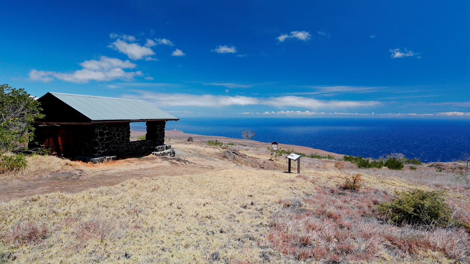
Hilina Pali Overlook
NPS Photo/M. Szoenyi
Quick Facts
Location:
Hawaiʻi Volcanoes National Park
Amenities
3 listed
Parking - Auto, Scenic View/Photo Spot, Trailhead
Hilina = struck (as by wind)
Pali = cliff
Hilina Pali = "windy cliff"
Hilina Pali Road was built by the Civilian Conservation Corps (CCC) from 1933 to 1942. The drive to Hilina Pali Overlook is 9 miles (14.5 km) off of Chain of Craters Road and is a narrow, one-lane road. Please drive with caution.
The overlook is approximately 2,282 ft (695.6 m) in elevation and over 12 miles (19.3 km) long. The last lava flow in this area was about 650 years ago.
On the drive down the Hilina Pali Road, you will see native ‘ōhi‘a trees and native under brush. On the left side, between .9- 3.5 miles (1.4- 5.6 km) down, you will view the Koaʻe Fault, which lies between the east and southwest rift zones of Kīlauea Volcano. The fault extension was created by the slippage of the ground between the northern and southern parts of Kīlauea. It is separating about 0.5 inches (12.7 mm) –3.0 inches (76.2 mm) per year.