Last updated: December 19, 2020
Place
Gravois Greenway (Grant's Trail)

Wikipedia
Quick Facts
Location:
St. Louis, Missouri
Significance:
Bike trail that was originally a railroad, part of which ran through U.S. Grant's White Haven property.
MANAGED BY:
Amenities
8 listed
Benches/Seating, Food/Drink - Restaurant/Table Service, Fuel (Diesel), Fuel (Unleaded), Historical/Interpretive Information/Exhibits, Information - Maps Available, Restroom - Accessible, Trailhead
Walk, Bike, or Skate on a Ten-Mile Trail
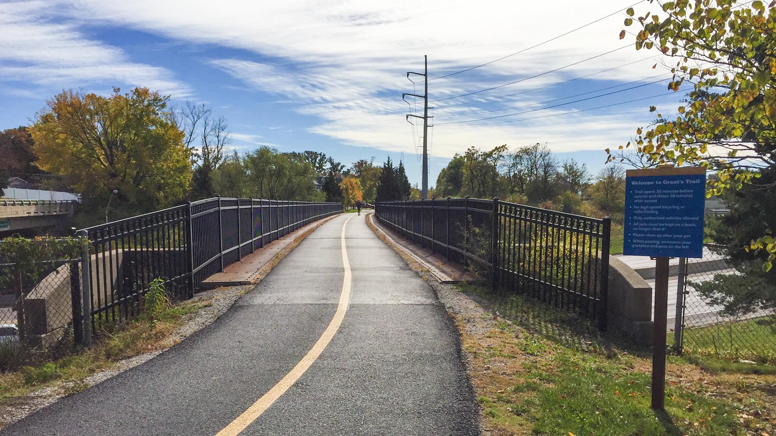
The Gravois Greenway (commonly refered to as "Grant's Trail") is a ten-mike pedestrian trail that runs parrallel to Ulysses S. Grant NHS. The trail was once the Kirkwood-Carondelet Branch of the Missouri Pacific Railroad, constructed in 1872 during Ulysses S. Grant’s ownership of the property. Trailheads with parking are located near the Thomas Sappington House museum at the intersection of Holmes and Leffingwell Avenues in Kirkwood (north trailhead) and off Hoffmeister Avenue at Orlando's near I-55 (south trailhead). Great Rivers Greenway maintains the trail in conjunction with St. Louis County Parks and TrailNet.
Please note that users of the Gravois Greenway are prohibited from parking their cars at Ulysses S. Grant NHS.
Directions to North Trailhead from Visitor Center
1. Turn right onto Grant Road.
2. Follow Grant Road for about five blocks. Grant eventually becomes Pardee Road. Continue on Pardee.
3. Turn left onto Grant Road and head north for three miles.
4. Turn left onto Big Bend Road. Follow Big Bend for two blocks.
5. Turn right on Melshire. Follow Melshire for another two blocks. The trailhead will be on your left at the intersection of Holmes and Leffingwell.
Directions to South Trailhead from Visitor Center
1. Turn left onto Grant Road.
2. Turn left on Gravois Road and head east for three miles.
3. Turn right onto Weber Road and head south for about three miles.
4. Turn right onto Union Road and head southwest for about one miles.
5. Turn left onto Hoffmeister Road. Drive three blocks and the trailhead will appear straight ahead.
