Last updated: January 7, 2022
Place
Grapevine Hills Road
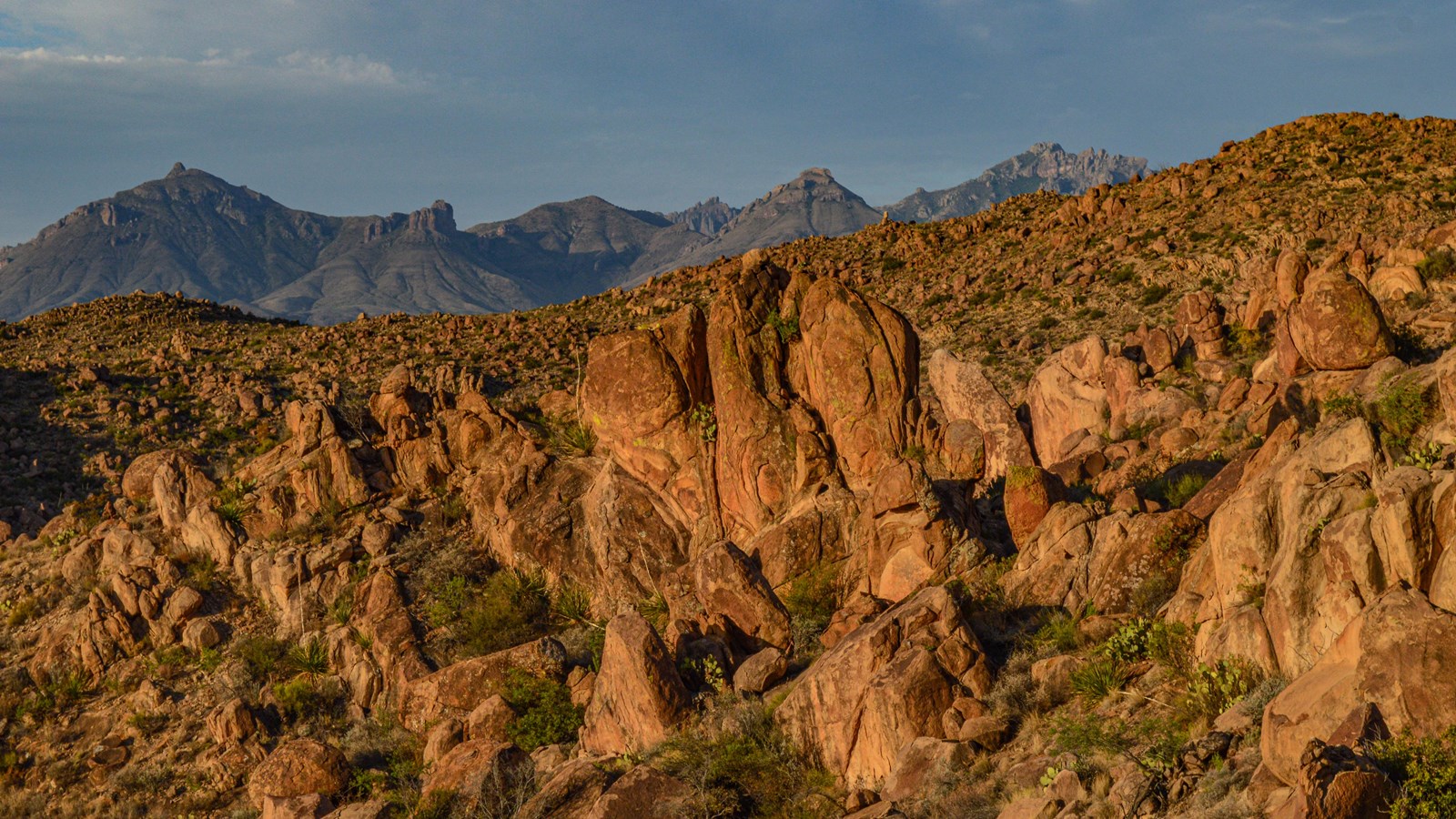
NPS/C. Negele
Quick Facts
Location:
3.3 miles west of Panther Junction
Amenities
2 listed
Information Kiosk/Bulletin Board, Parking - Auto
Drive 6.5 miles (10.4 kilometers) down this road to access the 2.2 mile round-trip Grapevine Hills Trail to Balanced Rock. Geologically, Grapevine Hills is a laccolith - a mushroom-shaped igneous intrusion that domed the rocks above, and was later exposed by erosion. The road is very rough and requires a sturdy, High Clearance vehicle. Do NOT attempt to reach the trailhead with a passenger car, minivan, or RV.
Driving the road beyond the trailhead usually requires 4x4. Five backcountry campsites are located at different places along the road. A backcountry permit is required to stay at these campsites. Permits are reserved by going to www.recreation.gov.
Driving the road beyond the trailhead usually requires 4x4. Five backcountry campsites are located at different places along the road. A backcountry permit is required to stay at these campsites. Permits are reserved by going to www.recreation.gov.