Last updated: March 31, 2021
Place
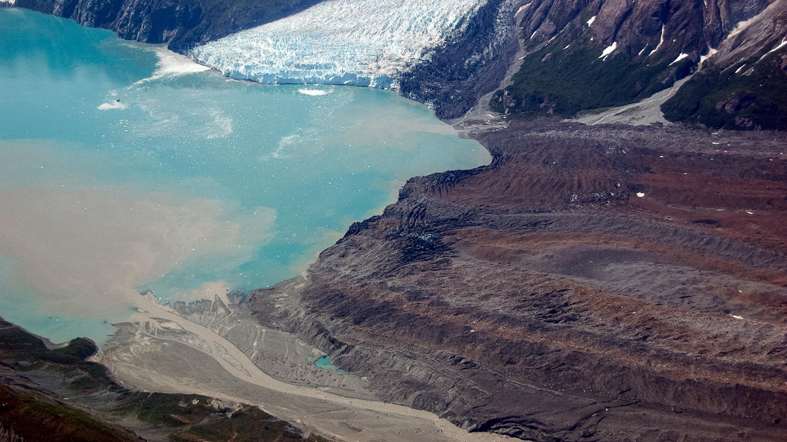
Grand Pacific Glacier
NPS Photo
The Grand Pacific Glacier originates in Canada’s St. Elias Mountains. It splits at lower elevations, with a substantial amount of ice flowing across the border into what is now known as Glacier Bay. The Grand Pacific is the main glacier credited with carving out Glacier Bay. In the past 250 years it has receded to the head of Tarr Inlet, where the terminus is no longer tidewater. The ice has been thinning for the past few decades. The western two thirds of the ice in the terminus of the Grand Pacific Glacier now comes from the tributary Ferris Glacier. Rock debris from landslides and medial moraines cover much of the lower ice. Where this rock debris is more than an inch thick, it insulates the ice, slows melting and results in a thicker ice mass than where the ice is clean. In many areas on the glacier, the debris is more than three feet thick. / John Muir named the glacier in 1879. At that time the massive ice face reached south to what is now known as Russell Island. When Harry Fielding Reid visited the bay in 1892 he discovered that the front of the glacier had receded so far it had split into three different glaciers. He retained the name, Grand Pacific, for the most northernly glacier. He named the middle glacier, Johns Hopkins. In 1899, those aboard the Harriman Expedition named the smallest most southernly glacier the Reid.