Last updated: May 5, 2025
Place
Graf Road Trailhead - San Antonio River Hike & Bike

NPS Photo
Quick Facts
Location:
Graf Road, San Antonio, TX 78223
Significance:
Trailhead
Amenities
16 listed
Beach/Water Access, Benches/Seating, Bicycle - Rack, Bicycle - Sharing Station, Bus/Shuttle Stop, Historical/Interpretive Information/Exhibits, Internet/WiFi Available, Parking - Auto, Parking - Bus/RV, Picnic Table, Public Transit, Restroom, Scenic View/Photo Spot, Trailhead, Trash/Litter Receptacles, Water - Drinking/Potable
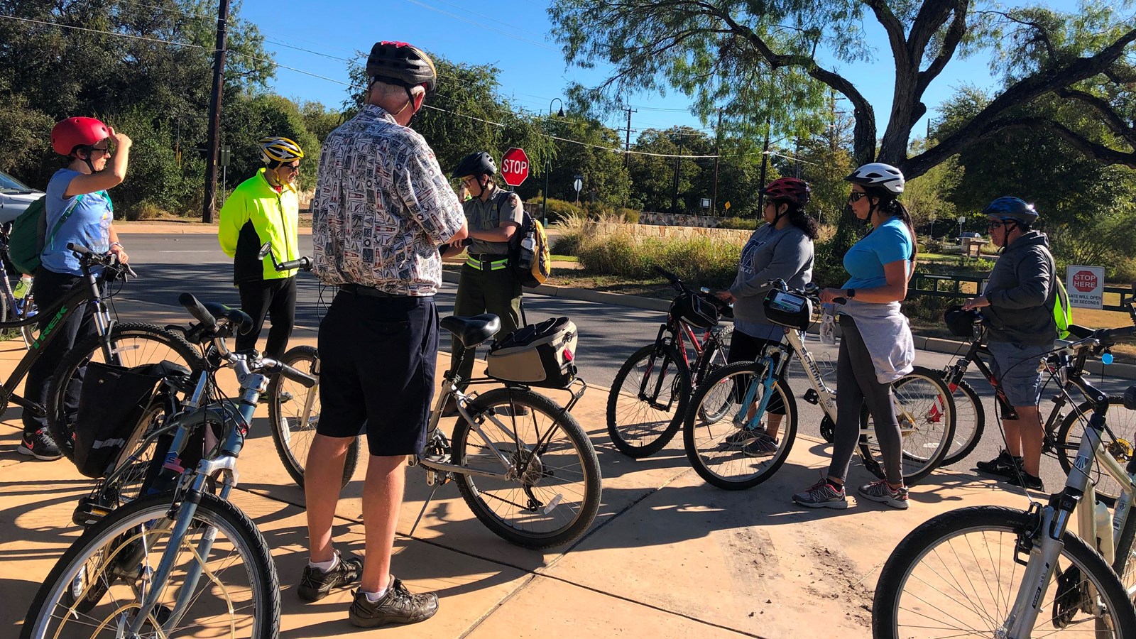
Access the San Antonio River Hike & Bike Trail from Mission San Juan via the Graf Road Trailhead. The San Antonio River Hike & Bike Trail connects all 5 missions in San Antonio along a beautiful stretch of waterways, native plants, and wildlife. Hike or bike along this trail and stop at each mission site, either to the north or south.
The Graf Road Trailhead is just west of the Mission San Juan parking lot. The trail begins at a San Antonio Bike Share station. This trail extends south, past Mission San Juan and the historic demonstration farm. This trail meets the San Antonio River 0.6 miles south. Continue south on the river for a total of 1.4 miles to reach Mission Espada.
For a map of the San Antonio River Hike & Bike Trail, visit the San Antonio River Authority site.
