Last updated: January 8, 2026
Place
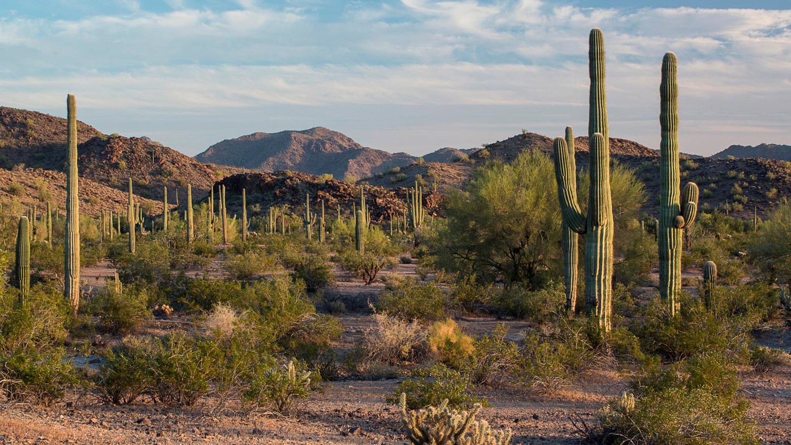
Gila Bend
BLM Photo / Robert Wick
Quick Facts
Location:
Gila Bend, AZ
Significance:
Anza expedition historic corridor
Designation:
Museum and Cultural Site
MANAGED BY:
Amenities
5 listed
Gifts/Souvenirs/Books, Historical/Interpretive Information/Exhibits, Information, Parking - Auto, Restroom
The town of Gila Bend is near two historic campsites of the Anza expedition: Camp #27 San Simón y Judas de Uparsoytac, and Camp #28 at the Village of Opas. The expedition rested at an indigenous settlement on November 10 and 11, 1775. They referred to the people there as the Opas. More information can be found at the Gila Bend Museum and Visitor Center.
*please note that Anza Trail Passport Stamp #10 is currently NOT available at this site. This page will be updated when a new stamper is available.